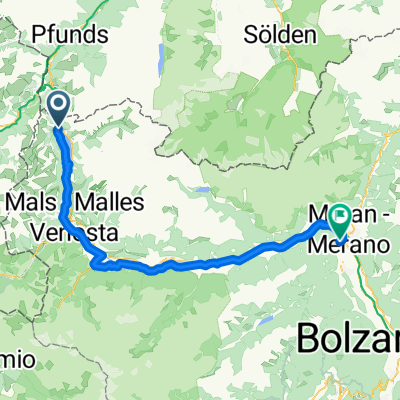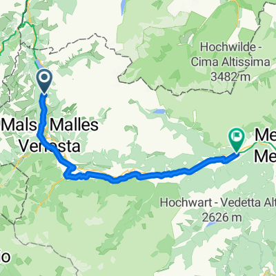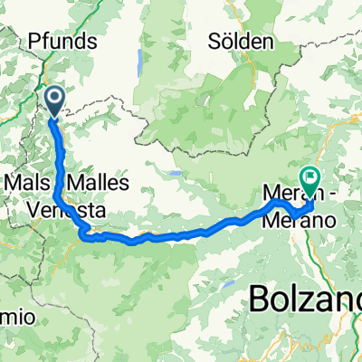
Reschen-Schenna
- 87.3 km
- 962 m
- 1,907 m
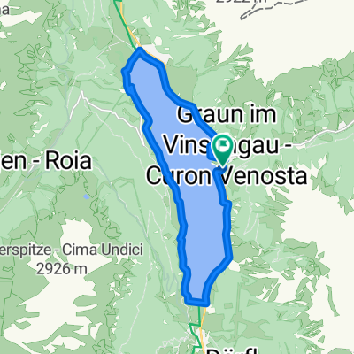
- Graun im Vinschgau, Trentino-Alto Adige, Italy
A cycling route starting in Graun im Vinschgau, Trentino-Alto Adige, Italy.
Overview
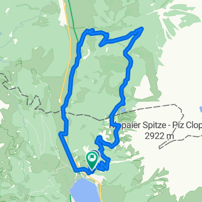
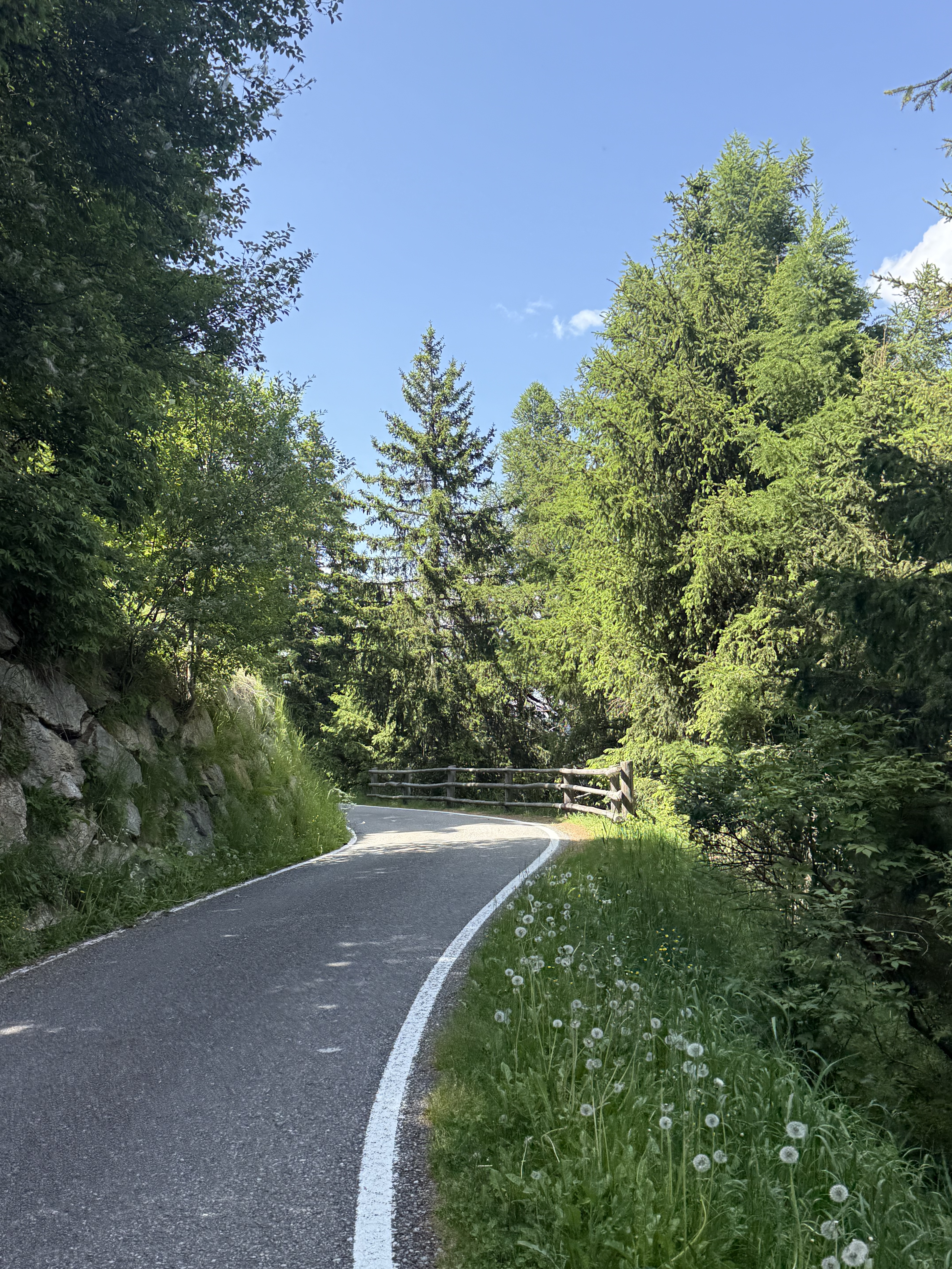
Also, the last few meters of altitude up to the Reschen Pass involve a somewhat laborious up and down on the bike path, which continues beyond the border to Nauders. Here one can take the detour via Martina into the Inn Valley or risk taking the heavily trafficked Reschenstraße, descending it and partly using the tunnel until a junction just before the Kajetans Bridge. From here, one follows the well-marked Inn Valley bike path, which, with some small uphill sections, changes sides of the valley cheerfully without major highlights until Landeck. Here, one can presumably avoid heavier traffic towards the Arlberg by taking the side road along the slope through Tobadill, which however involves a steep ascent. At Wiesberg Castle, one reaches in the valley the Paznaunstraße, which immediately reveals its character: heavily trafficked and actually not suitable for bicycles, it immediately disappears into a 1500m long tunnel. One initially follows this uncomfortable but unavoidable road until the junction to Kappl, where for the first time a detour to a higher side road in the slope would be possible, although no signage for cyclists confirms its suitability and additional meters of altitude are to be expected. Only after the following tunnel a few kilometers later does the desire for a car-free section become so strong that one follows a slightly hilly alternative route until Ischgl and after a few more kilometers on the road from Tschafein, which finally leads one past Galtür to the junction for Zeinisjoch. Now, there are still some steep kilometers on a paved road to the Zeinissee with its idyllic camping site and inn.
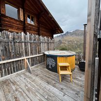
Sixteenth of twenty stages of a cycling tour around Switzerland. The highlight of this day comes at the end: after descending through the Inn Valley and ascending through the Paznaun, without any enthusiasm having arisen, the destination in the evening sun offers everything one needs after the long distance: a beautifully located well-kept alpine campsite and a cozy tavern.
created this 10 years ago
Route quality
Quiet road
32.4 km
(31 %)
Track
16.7 km
(16 %)
Paved
101.5 km
(97 %)
Unpaved
1 km
(1 %)
Asphalt
101.5 km
(97 %)
Gravel
1 km
(1 %)
Undefined
2.1 km
(2 %)
Continue with Bikemap
You would like to ride (16) S.Valentino alla Muta - Zeinisjoch or customize it for your own trip? Here is what you can do with this Bikemap route:
Free trial for 3 days, or one-time payment. More about Bikemap Premium.
Discover more Premium features.
Get Bikemap PremiumFrom our community
Open it in the app