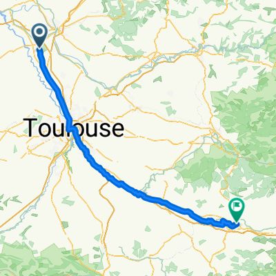
Montech - Carcassonne
- 147.9 km
- 483 m
- 488 m
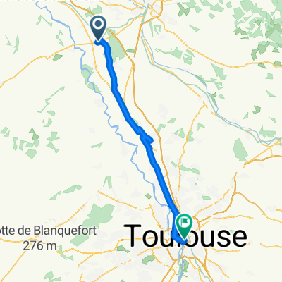
- Montech, Occitanie, France
A cycling route starting in Montech, Occitanie, France.
Overview
route countryside and banks of the canal of the two seas
Route quality
Quiet road
16.8 km
(65 %)
Cycleway
7.5 km
(29 %)
Paved
8 km
(31 %)
Asphalt
7.5 km
(29 %)
Paved (undefined)
0.5 km
(2 %)
Undefined
17.9 km
(69 %)
Continue with Bikemap
You would like to ride escatalens castelsarazin escatalens par canal or customize it for your own trip? Here is what you can do with this Bikemap route:
Free trial for 3 days, or one-time payment. More about Bikemap Premium.
Discover more Premium features.
Get Bikemap PremiumFrom our community
Open it in the app