

Overview
About this route
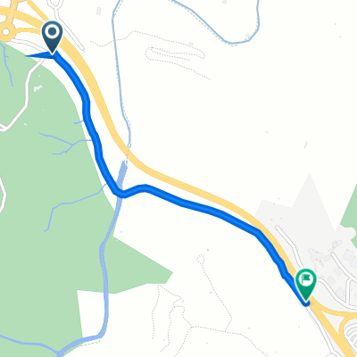
first stage
- -:--
- Duration
- 142.1 km
- Distance
- 1,504 m
- Ascent
- 1,227 m
- Descent
- ---
- Avg. speed
- ---
- Max. altitude

Part of
ESTIUS
3 stages
Route quality
Waytypes & surfaces along the route
Waytypes
Road
38.4 km
(27 %)
Quiet road
17 km
(12 %)
Surfaces
Paved
72.5 km
(51 %)
Asphalt
72.5 km
(51 %)
Undefined
69.6 km
(49 %)
Route highlights
Points of interest along the route
Photo after 69.7 km
Château de Queribus
Point of interest after 116 km
Col
Continue with Bikemap
Use, edit, or download this cycling route
You would like to ride Etapa 1 - R or customize it for your own trip? Here is what you can do with this Bikemap route:
Free features
- Save this route as favorite or in collections
- Copy & plan your own version of this route
- Split it into stages to create a multi-day tour
- Sync your route with Garmin or Wahoo
Premium features
Free trial for 3 days, or one-time payment. More about Bikemap Premium.
- Navigate this route on iOS & Android
- Export a GPX / KML file of this route
- Create your custom printout (try it for free)
- Download this route for offline navigation
Discover more Premium features.
Get Bikemap PremiumFrom our community
Other popular routes starting in Collioure
 Colliore -Limoux
- Distance
- 173.6 km
- Ascent
- 2,007 m
- Descent
- 1,844 m
- Location
- Collioure, Occitanie, France
 Etapa 1 - R
- Distance
- 142.1 km
- Ascent
- 1,504 m
- Descent
- 1,227 m
- Location
- Collioure, Occitanie, France
 La Jonquera
- Distance
- 50.4 km
- Ascent
- 552 m
- Descent
- 467 m
- Location
- Collioure, Occitanie, France
 Abschiedstour Urlaub Südfrankreich Okt. 2009
- Distance
- 19.8 km
- Ascent
- 728 m
- Descent
- 712 m
- Location
- Collioure, Occitanie, France
 Chemin du Mas Christine, Argelès-sur-Mer to D 914, Collioure
- Distance
- 1.1 km
- Ascent
- 70 m
- Descent
- 31 m
- Location
- Collioure, Occitanie, France
 Collioure - Fort St. Elmo
- Distance
- 23.9 km
- Ascent
- 569 m
- Descent
- 569 m
- Location
- Collioure, Occitanie, France
 Colliore -Limoux
- Distance
- 173.6 km
- Ascent
- 1,940 m
- Descent
- 1,783 m
- Location
- Collioure, Occitanie, France
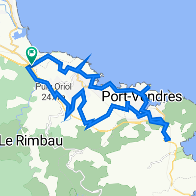
 Collioure to PortVendres
- Distance
- 5.2 km
- Ascent
- 133 m
- Descent
- 141 m
- Location
- Collioure, Occitanie, France
Open it in the app