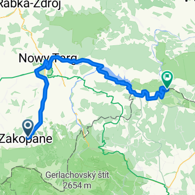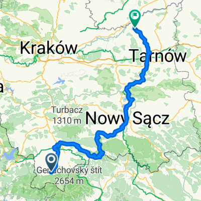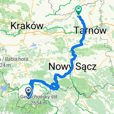
49.222, 19.962 až 49.144, 19.903
- 12.3 km
- 44 m
- 441 m
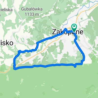
- Zakopane, Lesser Poland Voivodeship, Poland
A cycling route starting in Zakopane, Lesser Poland Voivodeship, Poland.
Overview
RIDDEN ON 3-10-2015 with: G Pi M
created this 10 years ago
Route quality
Road
47.7 km
(53 %)
Quiet road
27 km
(30 %)
Paved
75.6 km
(84 %)
Unpaved
0.9 km
(1 %)
Asphalt
75.6 km
(84 %)
Unpaved (undefined)
0.9 km
(1 %)
Undefined
13.5 km
(15 %)
Route highlights
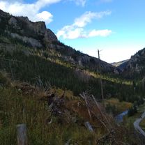
podjazd na Gliczarow, nie jak TdP
podjazd na Gliczarow, tak samo jak TdP
przelecz Lapszanka / Wyzni Koniec
pivo w Pohostnistvie
pivo
Zdiarskie sedlo
pivo
piwo obok 7 kotów
Continue with Bikemap
You would like to ride OSTURNA (przez Gliczarów-nie jak TdP oraz nową drogą z Wyżniego Końca i Zdiarskie sedlo) - 3-10-15 or customize it for your own trip? Here is what you can do with this Bikemap route:
Free trial for 3 days, or one-time payment. More about Bikemap Premium.
Discover more Premium features.
Get Bikemap PremiumFrom our community
Open it in the app