

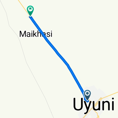
Uyuni-Tacna
A cycling route starting in Uyuni, Potosí Department, Bolivia.
Overview
About this route
Uyuni-Tacna
- -:--
- Duration
- 799 km
- Distance
- 2,891 m
- Ascent
- 6,020 m
- Descent
- ---
- Avg. speed
- ---
- Max. altitude
Route highlights
Points of interest along the route
Point of interest after 221.4 km
Tauca
Point of interest after 281.9 km
Buen Retiro
Continue with Bikemap
Use, edit, or download this cycling route
You would like to ride Uyuni-Tacna or customize it for your own trip? Here is what you can do with this Bikemap route:
Free features
- Save this route as favorite or in collections
- Copy & plan your own version of this route
- Split it into stages to create a multi-day tour
- Sync your route with Garmin or Wahoo
Premium features
Free trial for 3 days, or one-time payment. More about Bikemap Premium.
- Navigate this route on iOS & Android
- Export a GPX / KML file of this route
- Create your custom printout (try it for free)
- Download this route for offline navigation
Discover more Premium features.
Get Bikemap PremiumFrom our community
Other popular routes starting in Uyuni
 laguna route 1uyuni-sanchristbal
- Distance
- 89.3 km
- Ascent
- 155 m
- Descent
- 39 m
- Location
- Uyuni, Potosí Department, Bolivia
 UYUNI - 2020
- Distance
- 487.9 km
- Ascent
- 497 m
- Descent
- 439 m
- Location
- Uyuni, Potosí Department, Bolivia
 Uyuni-Antofagasta
- Distance
- 885.5 km
- Ascent
- 4,517 m
- Descent
- 8,139 m
- Location
- Uyuni, Potosí Department, Bolivia
 Calle Arce - 30
- Distance
- 11.2 km
- Ascent
- 11 m
- Descent
- 13 m
- Location
- Uyuni, Potosí Department, Bolivia
 Uyuni - Tica Tica (BOL)
- Distance
- 82.8 km
- Ascent
- 757 m
- Descent
- 817 m
- Location
- Uyuni, Potosí Department, Bolivia
 uyuni - tupiza - tajira
- Distance
- 437.6 km
- Ascent
- 3,127 m
- Descent
- 4,929 m
- Location
- Uyuni, Potosí Department, Bolivia
 Uyuni-Tacna
- Distance
- 799 km
- Ascent
- 2,891 m
- Descent
- 6,020 m
- Location
- Uyuni, Potosí Department, Bolivia
 Uyuni-Antofagasta
- Distance
- 885.5 km
- Ascent
- 26,190 m
- Descent
- 29,997 m
- Location
- Uyuni, Potosí Department, Bolivia
Open it in the app