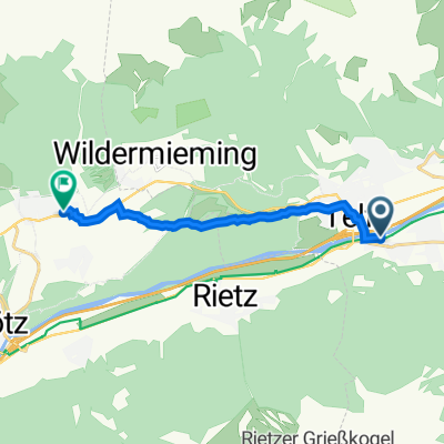
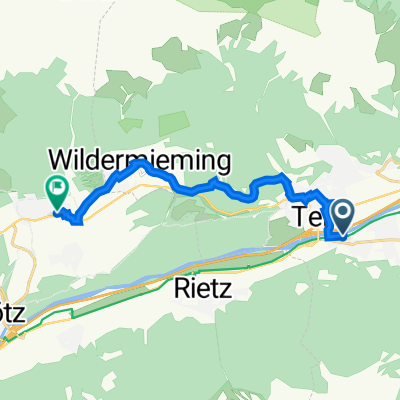
Telfs - Lehen - Strassberg - Alplhütte - Wildermieming - Gerhardhof - Telfs
- 25.5 km
- 1,047 m
- 1,049 m
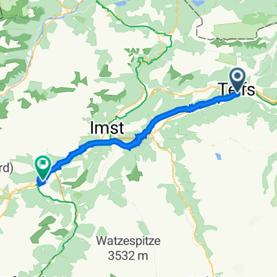
- Oberhofen im Inntal, Tyrol, Austria
A cycling route starting in Oberhofen im Inntal, Tyrol, Austria.
Overview
The route starts in the center of Pfaffenhofen, first on asphalt towards Höll, and after about 1.7 km turns left onto a gravel path to the alpine hut.
Route quality
Track
6.6 km
(83 %)
Quiet road
1.3 km
(17 %)
Unpaved
5.6 km
(71 %)
Gravel
5.6 km
(71 %)
Undefined
2.3 km
(29 %)
Continue with Bikemap
You would like to ride Pfaffenhofer Alm or customize it for your own trip? Here is what you can do with this Bikemap route:
Free trial for 3 days, or one-time payment. More about Bikemap Premium.
Discover more Premium features.
Get Bikemap PremiumFrom our community
Open it in the app
![20220726-[R] Landesstraße 12b Oberhofen im Inntal](https://media.bikemap.net/routes/12659173/staticmaps/in_64198c10-4b08-421b-a88d-bc3b115106ad_400x400_bikemap-2021-3D-static.png)

![20231003-[H] Bike Point Innsbruck](https://media.bikemap.net/routes/13790858/staticmaps/in_e00ab36e-5509-4174-82b1-e2a1bb11658b_400x400_bikemap-2021-3D-static.png)