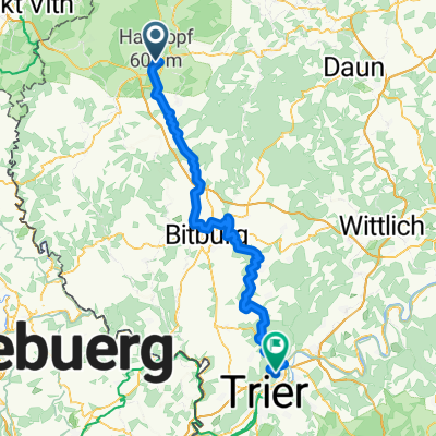
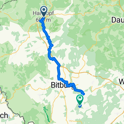
CTF MTB Tour 2009
A cycling route starting in Prüm, Rhineland-Palatinate, Germany.
Overview
About this route
Diese Runde wurde für die CTF des RSC Prüms gesetzt. Insgesamt ist die Strecke sehr flüssig zu fahren. Einige sehr schöne Trails und Abfahrten sind die Highlights des Kurse. Natürlich ist die schöne Landschaft ebenfalls sehr sehenswert.
- -:--
- Duration
- 47.9 km
- Distance
- 597 m
- Ascent
- 597 m
- Descent
- ---
- Avg. speed
- ---
- Avg. speed
Continue with Bikemap
Use, edit, or download this cycling route
You would like to ride CTF MTB Tour 2009 or customize it for your own trip? Here is what you can do with this Bikemap route:
Free features
- Save this route as favorite or in collections
- Copy & plan your own version of this route
- Sync your route with Garmin or Wahoo
Premium features
Free trial for 3 days, or one-time payment. More about Bikemap Premium.
- Navigate this route on iOS & Android
- Export a GPX / KML file of this route
- Create your custom printout (try it for free)
- Download this route for offline navigation
Discover more Premium features.
Get Bikemap PremiumFrom our community
Other popular routes starting in Prüm
- Augustiner Tour 2016 Etappe 2
- Distance
- 70.6 km
- Ascent
- 666 m
- Descent
- 1,030 m
- Location
- Prüm, Rhineland-Palatinate, Germany
- Eifel 205 Prüm, 2 km neutralisiert beim Start, dann 205 km
- Distance
- 205.9 km
- Ascent
- 1,717 m
- Descent
- 1,709 m
- Location
- Prüm, Rhineland-Palatinate, Germany
- VR4 Prum Bastogne 9 86
- Distance
- 86.8 km
- Ascent
- 905 m
- Descent
- 836 m
- Location
- Prüm, Rhineland-Palatinate, Germany
- Aufnahme vom 19. Juni 12:04 Nachm.
- Distance
- 20.8 km
- Ascent
- 223 m
- Descent
- 327 m
- Location
- Prüm, Rhineland-Palatinate, Germany
- Eifel: 5. Etappe
- Distance
- 68.7 km
- Ascent
- 294 m
- Descent
- 570 m
- Location
- Prüm, Rhineland-Palatinate, Germany
- Einsteigertour nach DEU
- Distance
- 212.1 km
- Ascent
- 441 m
- Descent
- 645 m
- Location
- Prüm, Rhineland-Palatinate, Germany
- Tour durch Prüm-, Enz- und Nimstal
- Distance
- 86.7 km
- Ascent
- 1,226 m
- Descent
- 1,238 m
- Location
- Prüm, Rhineland-Palatinate, Germany
- Rund um die Schnee-Eifel 2012 - RTF des Rad-Sport-Club Schneifel e.V. Prüm - 152 km Strecke
- Distance
- 146.4 km
- Ascent
- 2,136 m
- Descent
- 2,134 m
- Location
- Prüm, Rhineland-Palatinate, Germany
Open it in the app