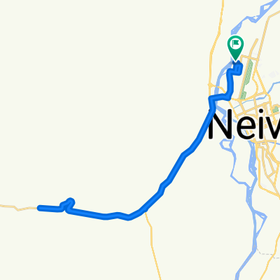
De Calle 26A, Neiva a Carrera 20B 50-1–50-1-1, Neiva
- 35.5 km
- 172 m
- 150 m
- Neiva, Huila Department, Colombia
A cycling route starting in Neiva, Huila Department, Colombia.
Overview
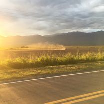
High temperature - maintain good hydration.
Route quality
Road
6.7 km
(15 %)
Quiet road
6.2 km
(14 %)
Undefined
31.7 km
(71 %)
Paved
35.2 km
(79 %)
Unpaved
0.9 km
(2 %)
Paved (undefined)
23.2 km
(52 %)
Asphalt
12 km
(27 %)
Continue with Bikemap
You would like to ride Neiva - Desierto de la Tatacoa or customize it for your own trip? Here is what you can do with this Bikemap route:
Free trial for 3 days, or one-time payment. More about Bikemap Premium.
Discover more Premium features.
Get Bikemap PremiumFrom our community
Open it in the app