

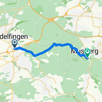
Patch To Kelley W Tyer's Hill
A cycling route starting in Sindelfingen, Baden-Wurttemberg, Germany.
Overview
About this route
10/5/15, 4:33 PM
- 35 min
- Duration
- 11.1 km
- Distance
- 128 m
- Ascent
- 173 m
- Descent
- 19.4 km/h
- Avg. speed
- ---
- Max. altitude
Route quality
Waytypes & surfaces along the route
Waytypes
Track
9.1 km
(82 %)
Pedestrian area
0.8 km
(7 %)
Surfaces
Paved
3.1 km
(28 %)
Unpaved
6.5 km
(58 %)
Gravel
3.8 km
(34 %)
Asphalt
2.8 km
(25 %)
Continue with Bikemap
Use, edit, or download this cycling route
You would like to ride Patch To Kelley W Tyer's Hill or customize it for your own trip? Here is what you can do with this Bikemap route:
Free features
- Save this route as favorite or in collections
- Copy & plan your own version of this route
- Sync your route with Garmin or Wahoo
Premium features
Free trial for 3 days, or one-time payment. More about Bikemap Premium.
- Navigate this route on iOS & Android
- Export a GPX / KML file of this route
- Create your custom printout (try it for free)
- Download this route for offline navigation
Discover more Premium features.
Get Bikemap PremiumFrom our community
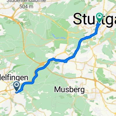
Other popular routes starting in Sindelfingen
 home to Donkey Mill
- Distance
- 10.7 km
- Ascent
- 109 m
- Descent
- 164 m
- Location
- Sindelfingen, Baden-Wurttemberg, Germany
 Kurze Runde um BB (62,5km)
- Distance
- 62.5 km
- Ascent
- 454 m
- Descent
- 439 m
- Location
- Sindelfingen, Baden-Wurttemberg, Germany
 Ahornweg nach Ahornweg
- Distance
- 9.1 km
- Ascent
- 104 m
- Descent
- 159 m
- Location
- Sindelfingen, Baden-Wurttemberg, Germany
 Lange Runde durch den Nordschwarzwald
- Distance
- 172.3 km
- Ascent
- 2,412 m
- Descent
- 2,413 m
- Location
- Sindelfingen, Baden-Wurttemberg, Germany
 Thermaltour
- Distance
- 16.7 km
- Ascent
- 227 m
- Descent
- 226 m
- Location
- Sindelfingen, Baden-Wurttemberg, Germany
 Von Sindelfingen bis Freiburg im Breisgau
- Distance
- 158.6 km
- Ascent
- 2,656 m
- Descent
- 2,814 m
- Location
- Sindelfingen, Baden-Wurttemberg, Germany
 Sindelfingen - Ludwigsburg
- Distance
- 18.5 km
- Ascent
- 54 m
- Descent
- 263 m
- Location
- Sindelfingen, Baden-Wurttemberg, Germany
 einfach drauf los
- Distance
- 36.7 km
- Ascent
- 391 m
- Descent
- 389 m
- Location
- Sindelfingen, Baden-Wurttemberg, Germany
Open it in the app