

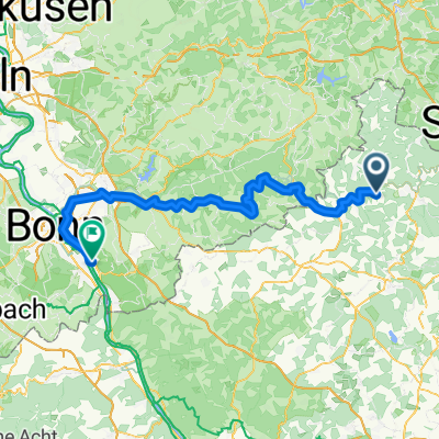
Alois Tag 6 Niederhövels - Niederdollendorf
A cycling route starting in Mittelhof, Rhineland-Palatinate, Germany.
Overview
About this route
Niederhövels - Niederdollendorf am Rhein
- -:--
- Duration
- 84 km
- Distance
- 419 m
- Ascent
- 523 m
- Descent
- ---
- Avg. speed
- ---
- Max. altitude
Route quality
Waytypes & surfaces along the route
Waytypes
Path
26.4 km
(31 %)
Quiet road
19.5 km
(23 %)
Surfaces
Paved
65.4 km
(78 %)
Unpaved
1.8 km
(2 %)
Asphalt
60.2 km
(72 %)
Paved (undefined)
4 km
(5 %)
Continue with Bikemap
Use, edit, or download this cycling route
You would like to ride Alois Tag 6 Niederhövels - Niederdollendorf or customize it for your own trip? Here is what you can do with this Bikemap route:
Free features
- Save this route as favorite or in collections
- Copy & plan your own version of this route
- Split it into stages to create a multi-day tour
- Sync your route with Garmin or Wahoo
Premium features
Free trial for 3 days, or one-time payment. More about Bikemap Premium.
- Navigate this route on iOS & Android
- Export a GPX / KML file of this route
- Create your custom printout (try it for free)
- Download this route for offline navigation
Discover more Premium features.
Get Bikemap PremiumFrom our community
Other popular routes starting in Mittelhof
 Alois Tag 6 Niederhövels - Niederdollendorf
- Distance
- 84 km
- Ascent
- 419 m
- Descent
- 523 m
- Location
- Mittelhof, Rhineland-Palatinate, Germany
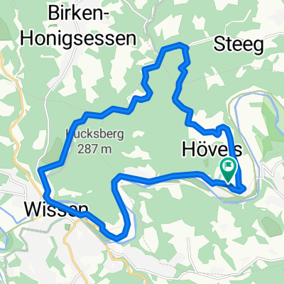
 Radtour Sieg – Lahn – Rhein Teil 3
- Distance
- 59.5 km
- Ascent
- 366 m
- Descent
- 285 m
- Location
- Mittelhof, Rhineland-Palatinate, Germany
 Hauptstraße 13, Mittelhof nach K150, Mittelhof
- Distance
- 4.2 km
- Ascent
- 34 m
- Descent
- 38 m
- Location
- Mittelhof, Rhineland-Palatinate, Germany
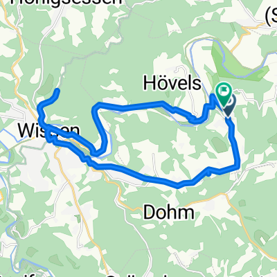
 Karweg 44, Wissen nach Karweg 44, Wissen
- Distance
- 27.4 km
- Ascent
- 605 m
- Descent
- 610 m
- Location
- Mittelhof, Rhineland-Palatinate, Germany
 Schönen Sommer Tour
- Distance
- 16.1 km
- Ascent
- 398 m
- Descent
- 398 m
- Location
- Mittelhof, Rhineland-Palatinate, Germany
 Training 12
- Distance
- 11.5 km
- Ascent
- 406 m
- Descent
- 405 m
- Location
- Mittelhof, Rhineland-Palatinate, Germany
 Karweg 67, Mittelhof nach Weiherstraße 15, Roth
- Distance
- 7.1 km
- Ascent
- 160 m
- Descent
- 147 m
- Location
- Mittelhof, Rhineland-Palatinate, Germany
 Friedrichstraße nach Friedrichstraße
- Distance
- 18 km
- Ascent
- 348 m
- Descent
- 348 m
- Location
- Mittelhof, Rhineland-Palatinate, Germany
Open it in the app