

Koktélbirka
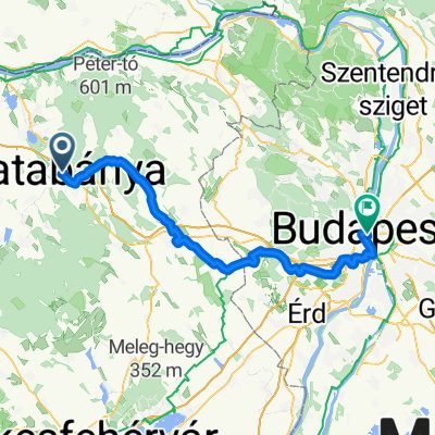
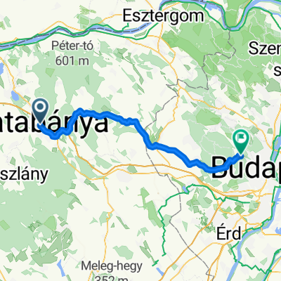
A cycling route starting in Tatabánya, Komárom-Esztergom, Hungary.
Overview
About this route
uwowzdfisweizfwitdiwuetwtidwtutwtuwetduzwed wetuwtuwtutwedtweut wtfuwetw tewztz e
- -:--
- Duration
- 16.8 km
- Distance
- 12 m
- Ascent
- 94 m
- Descent
- ---
- Avg. speed
- ---
- Max. altitude
Route quality
Waytypes & surfaces along the route
Waytypes
Cycleway
9.8 km
(58 %)
Road
2 km
(12 %)
Surfaces
Paved
14.1 km
(84 %)
Asphalt
14 km
(83 %)
Paved (undefined)
0.2 km
(1 %)
Undefined
2.7 km
(16 %)
Route highlights
Points of interest along the route

Point of interest after 4.6 km
jo kis hely

Point of interest after 13.6 km
desc fo adv track poi
Continue with Bikemap
Use, edit, or download this cycling route
You would like to ride Koktélbirka or customize it for your own trip? Here is what you can do with this Bikemap route:
Free features
- Save this route as favorite or in collections
- Copy & plan your own version of this route
- Sync your route with Garmin or Wahoo
Premium features
Free trial for 3 days, or one-time payment. More about Bikemap Premium.
- Navigate this route on iOS & Android
- Export a GPX / KML file of this route
- Create your custom printout (try it for free)
- Download this route for offline navigation
Discover more Premium features.
Get Bikemap PremiumFrom our community
Other popular routes starting in Tatabánya
 Koktélbirka
- Distance
- 16.8 km
- Ascent
- 12 m
- Descent
- 94 m
- Location
- Tatabánya, Komárom-Esztergom, Hungary
 giro Lippoli 2025 Tappa 7 Budapest
- Distance
- 81.6 km
- Ascent
- 726 m
- Descent
- 751 m
- Location
- Tatabánya, Komárom-Esztergom, Hungary
 Gerecse kiskör
- Distance
- 21.7 km
- Ascent
- 576 m
- Descent
- 570 m
- Location
- Tatabánya, Komárom-Esztergom, Hungary
 20170725CTesttrack
- Distance
- 18.9 km
- Ascent
- 641 m
- Descent
- 432 m
- Location
- Tatabánya, Komárom-Esztergom, Hungary
 Kerékpár maraton - 5. nap
- Distance
- 56.7 km
- Ascent
- 628 m
- Descent
- 437 m
- Location
- Tatabánya, Komárom-Esztergom, Hungary
 által ér trip
- Distance
- 22.1 km
- Ascent
- 8 m
- Descent
- 4 m
- Location
- Tatabánya, Komárom-Esztergom, Hungary
 kovacs.zs.80.Gerecse túrája
- Distance
- 68.7 km
- Ascent
- 1,084 m
- Descent
- 1,085 m
- Location
- Tatabánya, Komárom-Esztergom, Hungary
 Óláb-Vértestolna-Óláb
- Distance
- 16.3 km
- Ascent
- 244 m
- Descent
- 248 m
- Location
- Tatabánya, Komárom-Esztergom, Hungary
Open it in the app