

Bergisches Land Solingen Burg
A cycling route starting in Neuehrenfeld, North Rhine-Westphalia, Germany.
Overview
About this route
Köln Ehrenfeld, Schildgen, Osenau, Engstenberg, Glöbusch, Boddenberg, Burscheid, - Wuppersteilhänge über Witzhelden nach Solingen Balkhausen, Hästen, Solingen Burg, Wermelskirchen, Sträßchen, Blecher, Erberich, Glöbusch, Menrath, Odenthal, Schildgen, Dünnwald, K.-Mülheim, K.-Ehrenfeld
- -:--
- Duration
- 99.7 km
- Distance
- 628 m
- Ascent
- 628 m
- Descent
- ---
- Avg. speed
- ---
- Max. altitude

Continue with Bikemap
Use, edit, or download this cycling route
You would like to ride Bergisches Land Solingen Burg or customize it for your own trip? Here is what you can do with this Bikemap route:
Free features
- Save this route as favorite or in collections
- Copy & plan your own version of this route
- Split it into stages to create a multi-day tour
- Sync your route with Garmin or Wahoo
Premium features
Free trial for 3 days, or one-time payment. More about Bikemap Premium.
- Navigate this route on iOS & Android
- Export a GPX / KML file of this route
- Create your custom printout (try it for free)
- Download this route for offline navigation
Discover more Premium features.
Get Bikemap PremiumFrom our community
Other popular routes starting in Neuehrenfeld
 Köln-Drachenfels
- Distance
- 108.8 km
- Ascent
- 307 m
- Descent
- 310 m
- Location
- Neuehrenfeld, North Rhine-Westphalia, Germany
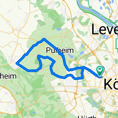 Kurze Runde über Puhlheim, Stommeln und Brauweiler
- Distance
- 49.2 km
- Ascent
- 102 m
- Descent
- 101 m
- Location
- Neuehrenfeld, North Rhine-Westphalia, Germany
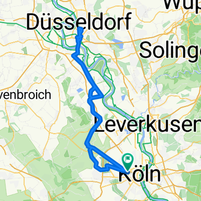 Köln-Düsseldorf Intercity Cycling
- Distance
- 93.2 km
- Ascent
- 71 m
- Descent
- 71 m
- Location
- Neuehrenfeld, North Rhine-Westphalia, Germany
 Ehrenfeld bis Glessener Höhe
- Distance
- 44.2 km
- Ascent
- 182 m
- Descent
- 179 m
- Location
- Neuehrenfeld, North Rhine-Westphalia, Germany
 schnelle Feierabendrunde mit Schleife
- Distance
- 43.6 km
- Ascent
- 93 m
- Descent
- 87 m
- Location
- Neuehrenfeld, North Rhine-Westphalia, Germany
 Glessener Höhe
- Distance
- 57.9 km
- Ascent
- 236 m
- Descent
- 240 m
- Location
- Neuehrenfeld, North Rhine-Westphalia, Germany
 Subbelrather Straße 401, Köln nach Arembergstraße 34, Köln
- Distance
- 11.5 km
- Ascent
- 19 m
- Descent
- 23 m
- Location
- Neuehrenfeld, North Rhine-Westphalia, Germany
 Braunsfeld - Düsseldorf
- Distance
- 68.7 km
- Ascent
- 71 m
- Descent
- 75 m
- Location
- Neuehrenfeld, North Rhine-Westphalia, Germany
Open it in the app