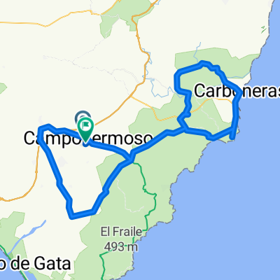
Loop Campohermoso Nijar Wind Farm on Sierra Alhamilla Lucainena Rambla Honda
- 55.2 km
- 1,121 m
- 1,120 m
- Níjar, Andalusia, Spain
A cycling route starting in Níjar, Andalusia, Spain.
Overview
created this 10 years ago
Continue with Bikemap
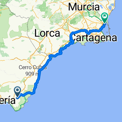
You would like to ride 4ª QUEDADA MTB "CD INCANSABLES BIKE" 2015 or customize it for your own trip? Here is what you can do with this Bikemap route:
Free trial for 3 days, or one-time payment. More about Bikemap Premium.
Discover more Premium features.
Get Bikemap PremiumFrom our community
Open it in the app