

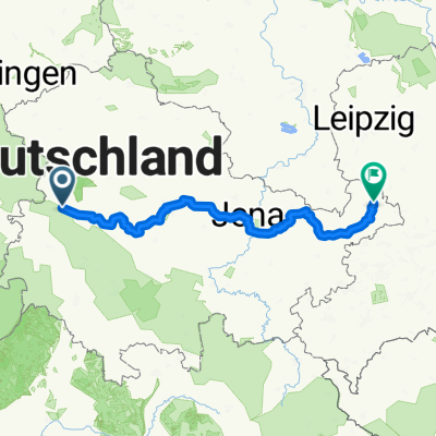
Eisenach - Molsdorf
A cycling route starting in Eisenach, Thuringia, Germany.
Overview
About this route
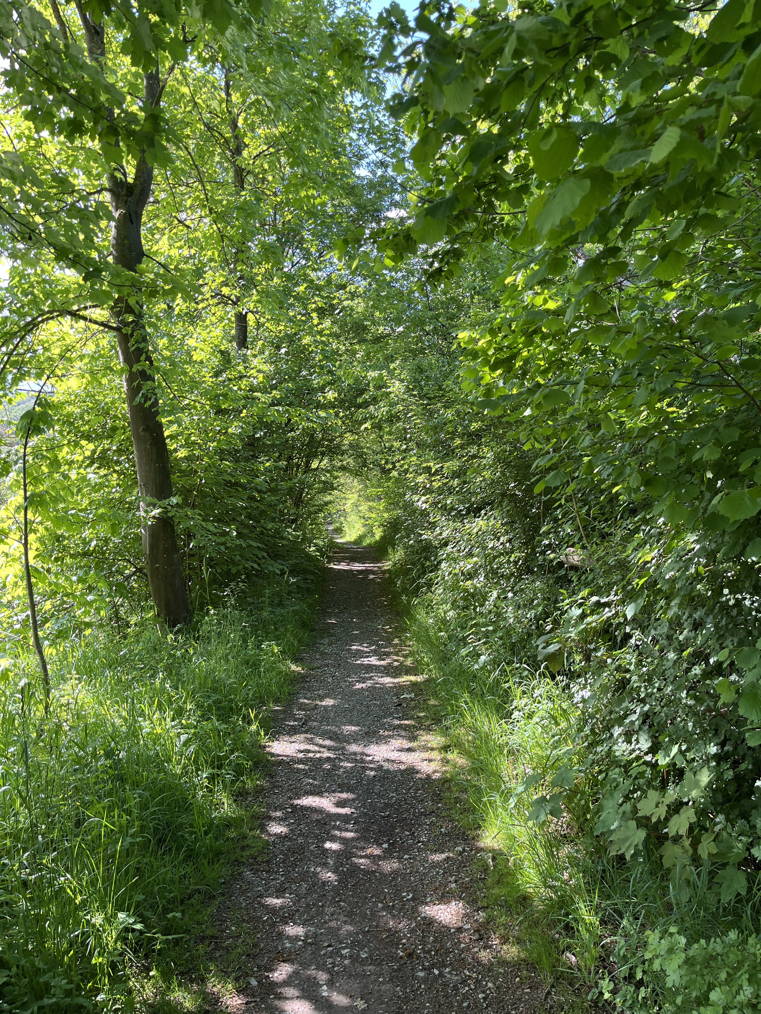
Thüringen nördlich des Thüringer Waldes
-
2005 katastrophale Brücke (Gepäck abladen) östlich Fröttelstedt, ich empfehle nicht an der Eisenbahn entlang, es soll aber noch im Rahmen des Radweges Thüringer Städtekette bearbeitet werden.
-
Weg östlich Gotha an der Eisenbahn teilweise schlecht
- -:--
- Duration
- 58.9 km
- Distance
- 244 m
- Ascent
- 235 m
- Descent
- ---
- Avg. speed
- ---
- Max. altitude
Continue with Bikemap
Use, edit, or download this cycling route
You would like to ride Eisenach - Molsdorf or customize it for your own trip? Here is what you can do with this Bikemap route:
Free features
- Save this route as favorite or in collections
- Copy & plan your own version of this route
- Sync your route with Garmin or Wahoo
Premium features
Free trial for 3 days, or one-time payment. More about Bikemap Premium.
- Navigate this route on iOS & Android
- Export a GPX / KML file of this route
- Create your custom printout (try it for free)
- Download this route for offline navigation
Discover more Premium features.
Get Bikemap PremiumFrom our community
Other popular routes starting in Eisenach
 Trailschaukel Eisenach
- Distance
- 35.8 km
- Ascent
- 923 m
- Descent
- 923 m
- Location
- Eisenach, Thuringia, Germany
 kurze Tour
- Distance
- 17.3 km
- Ascent
- 213 m
- Descent
- 205 m
- Location
- Eisenach, Thuringia, Germany
 Goethestraße, Eisenach nach Planstraße, Amt Creuzburg
- Distance
- 26.1 km
- Ascent
- 394 m
- Descent
- 431 m
- Location
- Eisenach, Thuringia, Germany
 Eisenach-Gotha
- Distance
- 43.2 km
- Ascent
- 272 m
- Descent
- 190 m
- Location
- Eisenach, Thuringia, Germany
 12.07.24 Eisenach-Wilhelmglücksbrunn
- Distance
- 34.3 km
- Ascent
- 245 m
- Descent
- 245 m
- Location
- Eisenach, Thuringia, Germany
 Eisenach und 4 Flüsse
- Distance
- 276.4 km
- Ascent
- 381 m
- Descent
- 380 m
- Location
- Eisenach, Thuringia, Germany
 Thüringer Radfernwege - 11 - Thüringer Städtekette - D-Route 4
- Distance
- 233.6 km
- Ascent
- 1,500 m
- Descent
- 1,543 m
- Location
- Eisenach, Thuringia, Germany
 Westroute Thüringer Wald
- Distance
- 96 km
- Ascent
- 1,150 m
- Descent
- 1,150 m
- Location
- Eisenach, Thuringia, Germany
Open it in the app