

2015 - Spanien - Conil - Vejer und zurück
A cycling route starting in Conil de la Frontera, Andalusia, Spain.
Overview
About this route
Up to Vejer - then towards La Breña
- -:--
- Duration
- 38.2 km
- Distance
- 312 m
- Ascent
- 313 m
- Descent
- ---
- Avg. speed
- ---
- Max. altitude

Route quality
Waytypes & surfaces along the route
Waytypes
Quiet road
14.9 km
(39 %)
Road
13 km
(34 %)
Surfaces
Paved
28.2 km
(74 %)
Unpaved
5 km
(13 %)
Asphalt
27.9 km
(73 %)
Unpaved (undefined)
4.2 km
(11 %)
Continue with Bikemap
Use, edit, or download this cycling route
You would like to ride 2015 - Spanien - Conil - Vejer und zurück or customize it for your own trip? Here is what you can do with this Bikemap route:
Free features
- Save this route as favorite or in collections
- Copy & plan your own version of this route
- Sync your route with Garmin or Wahoo
Premium features
Free trial for 3 days, or one-time payment. More about Bikemap Premium.
- Navigate this route on iOS & Android
- Export a GPX / KML file of this route
- Create your custom printout (try it for free)
- Download this route for offline navigation
Discover more Premium features.
Get Bikemap PremiumFrom our community
Other popular routes starting in Conil de la Frontera
 ruta conil
- Distance
- 115.9 km
- Ascent
- 751 m
- Descent
- 747 m
- Location
- Conil de la Frontera, Andalusia, Spain
 conil_AlcalaLosGazules_U_113km_HM1000
- Distance
- 113.2 km
- Ascent
- 728 m
- Descent
- 728 m
- Location
- Conil de la Frontera, Andalusia, Spain
 "La Bella" (Runde mit Homecoming-Sicht auf´s Meer)
- Distance
- 54.7 km
- Ascent
- 409 m
- Descent
- 413 m
- Location
- Conil de la Frontera, Andalusia, Spain
 Moderate route in Vejer de la Frontera
- Distance
- 23.1 km
- Ascent
- 201 m
- Descent
- 202 m
- Location
- Conil de la Frontera, Andalusia, Spain
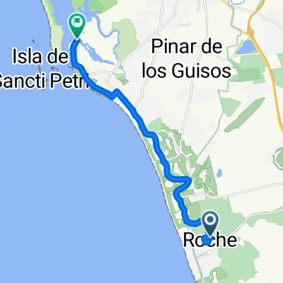
 Lomas de Sancti Petri-Pinares Roche
- Distance
- 29.5 km
- Ascent
- 110 m
- Descent
- 110 m
- Location
- Conil de la Frontera, Andalusia, Spain
 Council-Roche-Los Nevados-Vejer-Barbate-Conil
- Distance
- 91.8 km
- Ascent
- 520 m
- Descent
- 518 m
- Location
- Conil de la Frontera, Andalusia, Spain
 Stausee-Runde
- Distance
- 97.9 km
- Ascent
- 774 m
- Descent
- 785 m
- Location
- Conil de la Frontera, Andalusia, Spain
 Roche - Puerto SANCTI PETRI
- Distance
- 13.2 km
- Ascent
- 44 m
- Descent
- 60 m
- Location
- Conil de la Frontera, Andalusia, Spain
Open it in the app