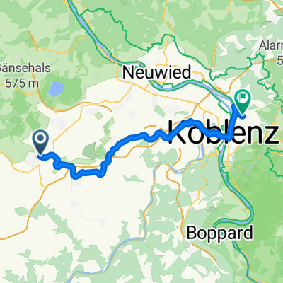
Nächtliche kleine Rundfahrten
- 4.6 km
- 183 m
- 227 m
- Mayen, Rhineland-Palatinate, Germany
A cycling route starting in Mayen, Rhineland-Palatinate, Germany.
Overview
TEASI track
created this 10 years ago
Route quality
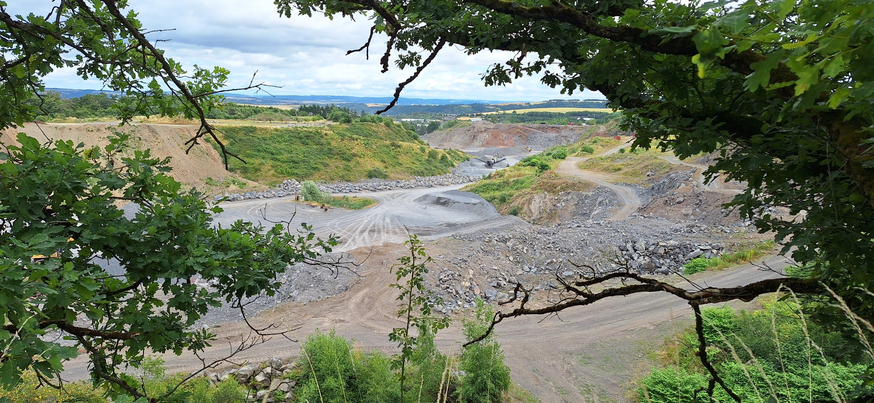
Path
23.9 km
(34 %)
Quiet road
16.9 km
(24 %)
Paved
61.9 km
(88 %)
Asphalt
55.6 km
(79 %)
Paved (undefined)
6.3 km
(9 %)
Undefined
8.4 km
(12 %)
Continue with Bikemap
You would like to ride 20150719_135142.gpx or customize it for your own trip? Here is what you can do with this Bikemap route:
Free trial for 3 days, or one-time payment. More about Bikemap Premium.
Discover more Premium features.
Get Bikemap PremiumFrom our community
Open it in the app