Kagamiogachi - Redai
A cycling route starting in Ino, Kochi, Japan.
Overview
About this route
25/10/2015, 1:28 PM
- 1 h 24 min
- Duration
- 11.4 km
- Distance
- 569 m
- Ascent
- 733 m
- Descent
- 8.2 km/h
- Avg. speed
- ---
- Max. altitude
Continue with Bikemap
Use, edit, or download this cycling route
You would like to ride Kagamiogachi - Redai or customize it for your own trip? Here is what you can do with this Bikemap route:
Free features
- Save this route as favorite or in collections
- Copy & plan your own version of this route
- Sync your route with Garmin or Wahoo
Premium features
Free trial for 3 days, or one-time payment. More about Bikemap Premium.
- Navigate this route on iOS & Android
- Export a GPX / KML file of this route
- Create your custom printout (try it for free)
- Download this route for offline navigation
Discover more Premium features.
Get Bikemap PremiumFrom our community
Other popular routes starting in Ino
- shikoku ochi- kochi
- Distance
- 38.9 km
- Ascent
- 432 m
- Descent
- 216 m
- Location
- Ino, Kochi, Japan
- Shingunomori - Mitani - Kagami Dam
- Distance
- 34.9 km
- Ascent
- 1,081 m
- Descent
- 1,081 m
- Location
- Ino, Kochi, Japan
- Soan
- Distance
- 22.6 km
- Ascent
- 891 m
- Descent
- 893 m
- Location
- Ino, Kochi, Japan
- ride through Kochi
- Distance
- 23 km
- Ascent
- 1,103 m
- Descent
- 1,182 m
- Location
- Ino, Kochi, Japan
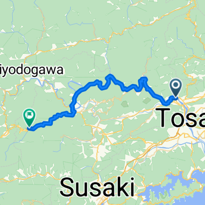
- Kagamikakinnomata; Heike-no-taki Falls
- Distance
- 13.7 km
- Ascent
- 998 m
- Descent
- 543 m
- Location
- Ino, Kochi, Japan
- 高岡町乙, 土佐市へ本町3丁目, 高知市
- Distance
- 15.2 km
- Ascent
- 42 m
- Descent
- 54 m
- Location
- Ino, Kochi, Japan
- 枝川駅, いの町 to 2276−2, いの町
- Distance
- 100.1 km
- Ascent
- 852 m
- Descent
- 857 m
- Location
- Ino, Kochi, Japan
- Kagamiogachi - Redai
- Distance
- 11.4 km
- Ascent
- 569 m
- Descent
- 733 m
- Location
- Ino, Kochi, Japan
Open it in the app