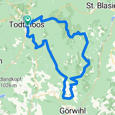
Hochkopf 2026-01-02 0700-018
- 18.4 km
- 721 m
- 703 m
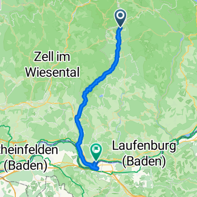
- Todtmoos, Baden-Wurttemberg, Germany
smaller loop starting and ending in Todtmoos via Bernau. Detour to Hochkopf with beautiful views possible. The entire route is marked with yellow MTB signs.
Free trial for 3 days, or one-time payment. More about Bikemap Premium.
Discover more Premium features.
Get Bikemap PremiumOpen it in the app