

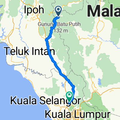
tanah rata - raub
A cycling route starting in Tanah Rata, Pahang, Malaysia.
Overview
About this route
- 2 h 44 min
- Duration
- 50.9 km
- Distance
- 305 m
- Ascent
- 1,362 m
- Descent
- 18.6 km/h
- Avg. speed
- ---
- Max. altitude

Route quality
Waytypes & surfaces along the route
Waytypes
Quiet road
2 km
(4 %)
Access road
2 km
(4 %)
Undefined
46.8 km
(92 %)
Surfaces
Paved
47.3 km
(93 %)
Asphalt
47.3 km
(93 %)
Undefined
3.6 km
(7 %)
Route highlights
Points of interest along the route

Point of interest after 0.1 km
bharat tea plantation

Point of interest after 7.5 km
ringlet shell

Point of interest after 7.7 km

Point of interest after 11.7 km

Point of interest after 11.7 km

Point of interest after 14.9 km

Point of interest after 16.4 km

Point of interest after 24.4 km

Point of interest after 24.4 km
Kg Leryer

Point of interest after 26.9 km
future Dam in progress

Point of interest after 26.9 km

Point of interest after 35.4 km

Point of interest after 39.1 km

Point of interest after 39.1 km
Continue with Bikemap
Use, edit, or download this cycling route
You would like to ride tanah rata - raub or customize it for your own trip? Here is what you can do with this Bikemap route:
Free features
- Save this route as favorite or in collections
- Copy & plan your own version of this route
- Sync your route with Garmin or Wahoo
Premium features
Free trial for 3 days, or one-time payment. More about Bikemap Premium.
- Navigate this route on iOS & Android
- Export a GPX / KML file of this route
- Create your custom printout (try it for free)
- Download this route for offline navigation
Discover more Premium features.
Get Bikemap PremiumFrom our community
Other popular routes starting in Tanah Rata
 J12-Malaisie_Brinchang-Sungai Siput-08-03-2011
- Distance
- 114.3 km
- Ascent
- 503 m
- Descent
- 1,914 m
- Location
- Tanah Rata, Pahang, Malaysia
 Boh Plantation Cameron Highlands
- Distance
- 22.4 km
- Ascent
- 408 m
- Descent
- 671 m
- Location
- Tanah Rata, Pahang, Malaysia
 brichang - fossy forests
- Distance
- 25 km
- Ascent
- 711 m
- Descent
- 708 m
- Location
- Tanah Rata, Pahang, Malaysia
 J48 - Tanah Rata - Kuala Lipis
- Distance
- 134.3 km
- Ascent
- 387 m
- Descent
- 1,750 m
- Location
- Tanah Rata, Pahang, Malaysia
 J47 - Kampung Raja - Tanah Rata
- Distance
- 21.5 km
- Ascent
- 568 m
- Descent
- 418 m
- Location
- Tanah Rata, Pahang, Malaysia
 tanah rata - raub
- Distance
- 50.9 km
- Ascent
- 305 m
- Descent
- 1,362 m
- Location
- Tanah Rata, Pahang, Malaysia
 Rawang - Cameron Highlands
- Distance
- 187.8 km
- Ascent
- 399 m
- Descent
- 1,746 m
- Location
- Tanah Rata, Pahang, Malaysia
 J11-Malaisie_Ringlet-Brinchang-07-03-2011
- Distance
- 16.8 km
- Ascent
- 607 m
- Descent
- 215 m
- Location
- Tanah Rata, Pahang, Malaysia
Open it in the app