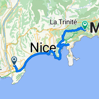
MCD Urlaub 2009 - Teil 1 - Tag 1-9
A cycling route starting in Saint-Laurent-du-Var, Provence-Alpes-Côte d'Azur Region, France.
Overview
About this route
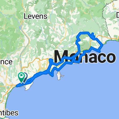
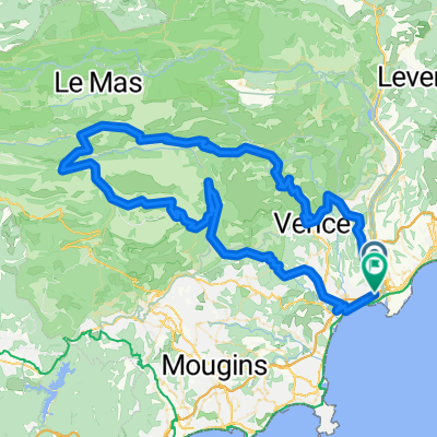
The first of 3 map sections of my tour August/September 2009.
DAY 1: Nice airport -> Cagnes-sur-Merkm50 (50)
DAY 2: Cagnes-sur-Mer -> Sainte-Maximekm165 (115)
DAY 3: Sainte-Maxime - Sanary-sur-Merkm341 (176)
DAY 4: Sanary-sur-Mer - Aix-en-Provencekm495 (154)
DAY 5: Aix-en-Provence - Orangekm635 (140)
DAY 6: Orange - Montelimarkm769 (134)
DAY 7: Montelimar - Grenoblekm892 (123)
Day 8: Grenoble - Aix-les-Bains
- -:--
- Duration
- 993.1 km
- Distance
- 1,720 m
- Ascent
- 1,494 m
- Descent
- ---
- Avg. speed
- ---
- Max. altitude
Route highlights
Points of interest along the route
Point of interest after 50.3 km
1 Nacht
Point of interest after 164.9 km
Nacht 2
Point of interest after 344.3 km
Nacht 3
Point of interest after 500.3 km
Nacht 4
Point of interest after 642.1 km
Nacht 5
Point of interest after 761.7 km
Nacht 6
Point of interest after 894.4 km
Nacht 7
Point of interest after 993.1 km
Nacht 8 und 9
Continue with Bikemap
Use, edit, or download this cycling route
You would like to ride MCD Urlaub 2009 - Teil 1 - Tag 1-9 or customize it for your own trip? Here is what you can do with this Bikemap route:
Free features
- Save this route as favorite or in collections
- Copy & plan your own version of this route
- Split it into stages to create a multi-day tour
- Sync your route with Garmin or Wahoo
Premium features
Free trial for 3 days, or one-time payment. More about Bikemap Premium.
- Navigate this route on iOS & Android
- Export a GPX / KML file of this route
- Create your custom printout (try it for free)
- Download this route for offline navigation
Discover more Premium features.
Get Bikemap PremiumFrom our community
Other popular routes starting in Saint-Laurent-du-Var
La Laurentine Andreï Kivilev - 105 Km- Distance
- 104.2 km
- Ascent
- 1,229 m
- Descent
- 1,229 m
- Location
- Saint-Laurent-du-Var, Provence-Alpes-Côte d'Azur Region, France
FRANCIA_????_patrikfroment- Distance
- 197.6 km
- Ascent
- 3,039 m
- Descent
- 3,022 m
- Location
- Saint-Laurent-du-Var, Provence-Alpes-Côte d'Azur Region, France
FRANCIA_141_2895- Distance
- 138.2 km
- Ascent
- 2,823 m
- Descent
- 2,825 m
- Location
- Saint-Laurent-du-Var, Provence-Alpes-Côte d'Azur Region, France
Tour France_ Nice - Nice ITT- Distance
- 43.8 km
- Ascent
- 657 m
- Descent
- 634 m
- Location
- Saint-Laurent-du-Var, Provence-Alpes-Côte d'Azur Region, France
Allée Anne Frank, Nice à Allée Hector Pintus, La Gaude- Distance
- 44.9 km
- Ascent
- 1,103 m
- Descent
- 817 m
- Location
- Saint-Laurent-du-Var, Provence-Alpes-Côte d'Azur Region, France
Itinéraire vers 1–3 Rue André Cane, Beaulieu-sur-Mer- Distance
- 17.2 km
- Ascent
- 6 m
- Descent
- 15 m
- Location
- Saint-Laurent-du-Var, Provence-Alpes-Côte d'Azur Region, France
FRANCIA_124_2101_Sortie longue ride 🚲 st laurent du var, moyenne corniche les pugets, vence , col de vence, greolieres, thorenc village, col de castellaras...- Distance
- 123.2 km
- Ascent
- 2,033 m
- Descent
- 2,027 m
- Location
- Saint-Laurent-du-Var, Provence-Alpes-Côte d'Azur Region, France
fatto_118_1975_patrikfroment_st laurent du var, vence, col de vence, greolieres, thorenc, col du castellaras, col de la sine, col de lecre, Caussols...- Distance
- 117.2 km
- Ascent
- 1,924 m
- Descent
- 1,919 m
- Location
- Saint-Laurent-du-Var, Provence-Alpes-Côte d'Azur Region, France
Open it in the app

