Andalucia 2011
- 947.5 km
- 2,665 m
- 2,662 m
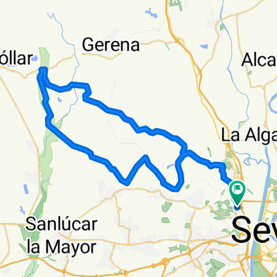
- Camas, Andalusia, Spain
A cycling route starting in Camas, Andalusia, Spain.
Overview
Camas the Castle of De Las Guardas
Route quality
Road
42.7 km
(36 %)
Cycleway
35.6 km
(30 %)
Paved
39.1 km
(33 %)
Unpaved
9.5 km
(8 %)
Asphalt
37.9 km
(32 %)
Ground
7.1 km
(6 %)
Continue with Bikemap
You would like to ride CAMAS EL CASTILLO DE LAS GUARDAS or customize it for your own trip? Here is what you can do with this Bikemap route:
Free trial for 3 days, or one-time payment. More about Bikemap Premium.
Discover more Premium features.
Get Bikemap PremiumFrom our community
Open it in the app