

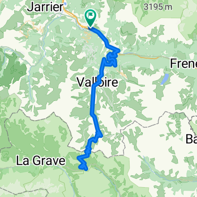
Alps long ride day 2
A cycling route starting in Villargondran, Auvergne-Rhône-Alpes, France.
Overview
About this route
long ride over telegraphe, Galibier, Alpe d'Huez, Glandon
- -:--
- Duration
- 180.7 km
- Distance
- 4,294 m
- Ascent
- 4,277 m
- Descent
- ---
- Avg. speed
- ---
- Max. altitude
Route quality
Waytypes & surfaces along the route
Waytypes
Road
18.1 km
(10 %)
Quiet road
7.2 km
(4 %)
Surfaces
Paved
117.5 km
(65 %)
Unpaved
1.8 km
(1 %)
Asphalt
117.5 km
(65 %)
Unpaved (undefined)
1.8 km
(1 %)
Undefined
61.5 km
(34 %)
Continue with Bikemap
Use, edit, or download this cycling route
You would like to ride Alps long ride day 2 or customize it for your own trip? Here is what you can do with this Bikemap route:
Free features
- Save this route as favorite or in collections
- Copy & plan your own version of this route
- Split it into stages to create a multi-day tour
- Sync your route with Garmin or Wahoo
Premium features
Free trial for 3 days, or one-time payment. More about Bikemap Premium.
- Navigate this route on iOS & Android
- Export a GPX / KML file of this route
- Create your custom printout (try it for free)
- Download this route for offline navigation
Discover more Premium features.
Get Bikemap PremiumFrom our community
Other popular routes starting in Villargondran
 Col du Galibier via Albanne
- Distance
- 91.5 km
- Ascent
- 2,534 m
- Descent
- 2,534 m
- Location
- Villargondran, Auvergne-Rhône-Alpes, France
 ClimbingChallenge2019
- Distance
- 111.1 km
- Ascent
- 3,141 m
- Descent
- 3,140 m
- Location
- Villargondran, Auvergne-Rhône-Alpes, France
 Alpes IV
- Distance
- 104.3 km
- Ascent
- 2,842 m
- Descent
- 2,841 m
- Location
- Villargondran, Auvergne-Rhône-Alpes, France
 Col de la Croix de Fer and Col du Glandon
- Distance
- 65.6 km
- Ascent
- 1,676 m
- Descent
- 1,676 m
- Location
- Villargondran, Auvergne-Rhône-Alpes, France
 basique 1
- Distance
- 8 km
- Ascent
- 516 m
- Descent
- 16 m
- Location
- Villargondran, Auvergne-Rhône-Alpes, France
 Monvernier - Col de la Madeleine - 2
- Distance
- 81.2 km
- Ascent
- 3,156 m
- Descent
- 3,158 m
- Location
- Villargondran, Auvergne-Rhône-Alpes, France
 galibier + lautaret
- Distance
- 100.7 km
- Ascent
- 2,791 m
- Descent
- 2,789 m
- Location
- Villargondran, Auvergne-Rhône-Alpes, France
 StMichelleMaurienne-Alpe d'Huez-Boug d'Oisan
- Distance
- 107.6 km
- Ascent
- 3,049 m
- Descent
- 2,896 m
- Location
- Villargondran, Auvergne-Rhône-Alpes, France
Open it in the app