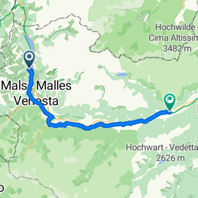
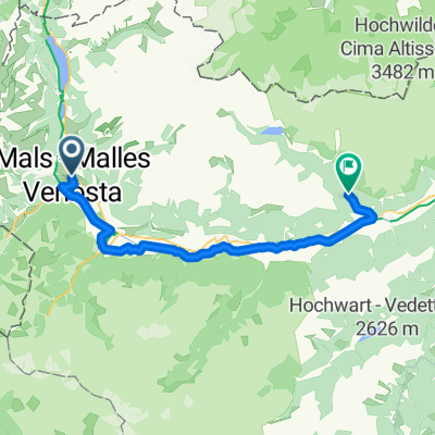
Malles - Resio - Malles
A cycling route starting in Mals, Trentino-Alto Adige, Italy.
Overview
About this route
Teils landwirtschaftliche Wege genommen
(Burgusio Richtung Ultimo bis SS40 --
Rennradfahrer sollten besser die Straße oder den Radweg nehmen).
Bis Haidersee z.T. steil, danach eher flach.
Außer auf den landwirtschaftlichen Wegen alles Asphalt.
- -:--
- Duration
- 41.4 km
- Distance
- 725 m
- Ascent
- 725 m
- Descent
- ---
- Avg. speed
- ---
- Avg. speed
Route quality
Waytypes & surfaces along the route
Waytypes
Undefined
41.4 km
(100 %)
Surfaces
Undefined
41.4 km
(100 %)
Continue with Bikemap
Use, edit, or download this cycling route
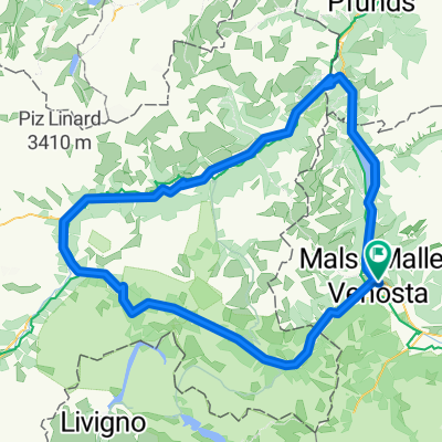
You would like to ride Malles - Resio - Malles or customize it for your own trip? Here is what you can do with this Bikemap route:
Free features
- Save this route as favorite or in collections
- Copy & plan your own version of this route
- Sync your route with Garmin or Wahoo
Premium features
Free trial for 3 days, or one-time payment. More about Bikemap Premium.
- Navigate this route on iOS & Android
- Export a GPX / KML file of this route
- Create your custom printout (try it for free)
- Download this route for offline navigation
Discover more Premium features.
Get Bikemap PremiumFrom our community
Other popular routes starting in Mals
- Giro Südtirol 2011 Stage 2°
- Distance
- 158.6 km
- Ascent
- 3,071 m
- Descent
- 3,183 m
- Location
- Mals, Trentino-Alto Adige, Italy
- Via Claudia Augusta 5. Clusio - Merano
- Distance
- 67.7 km
- Ascent
- 176 m
- Descent
- 865 m
- Location
- Mals, Trentino-Alto Adige, Italy
- Malles - Resio - Malles
- Distance
- 41.4 km
- Ascent
- 725 m
- Descent
- 725 m
- Location
- Mals, Trentino-Alto Adige, Italy
- Val d'Uina
- Distance
- 83.6 km
- Ascent
- 2,584 m
- Descent
- 2,584 m
- Location
- Mals, Trentino-Alto Adige, Italy
- Obervinschgau - Scharljöchl Tour
- Distance
- 51.8 km
- Ascent
- 1,724 m
- Descent
- 1,724 m
- Location
- Mals, Trentino-Alto Adige, Italy
- Runde Burgeis-Prämajur-Pfaffensee-Haidersee
- Distance
- 21.5 km
- Ascent
- 1,019 m
- Descent
- 1,019 m
- Location
- Mals, Trentino-Alto Adige, Italy
- Stilfser Joch - Single-Trail-Downhill
- Distance
- 65.4 km
- Ascent
- 2,167 m
- Descent
- 2,167 m
- Location
- Mals, Trentino-Alto Adige, Italy
- Route zu Ortles B And B
- Distance
- 19.2 km
- Ascent
- 637 m
- Descent
- 221 m
- Location
- Mals, Trentino-Alto Adige, Italy