

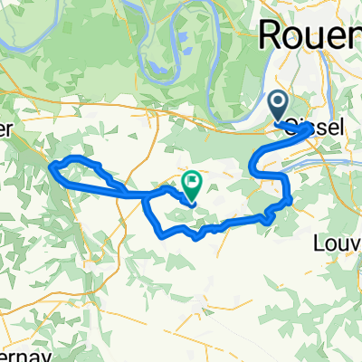
20150806_135533.gpx
A cycling route starting in Grand-Couronne, Normandy, France.
Overview
About this route
TEASI track
- -:--
- Duration
- 110.9 km
- Distance
- 601 m
- Ascent
- 597 m
- Descent
- ---
- Avg. speed
- ---
- Max. altitude
Route quality
Waytypes & surfaces along the route
Waytypes
Road
41 km
(37 %)
Quiet road
11.1 km
(10 %)
Surfaces
Paved
85.4 km
(77 %)
Asphalt
85.4 km
(77 %)
Undefined
25.5 km
(23 %)
Continue with Bikemap
Use, edit, or download this cycling route
You would like to ride 20150806_135533.gpx or customize it for your own trip? Here is what you can do with this Bikemap route:
Free features
- Save this route as favorite or in collections
- Copy & plan your own version of this route
- Split it into stages to create a multi-day tour
- Sync your route with Garmin or Wahoo
Premium features
Free trial for 3 days, or one-time payment. More about Bikemap Premium.
- Navigate this route on iOS & Android
- Export a GPX / KML file of this route
- Create your custom printout (try it for free)
- Download this route for offline navigation
Discover more Premium features.
Get Bikemap PremiumFrom our community
Other popular routes starting in Grand-Couronne
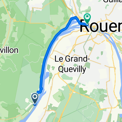
 De 4 Rue du 8 Mai, Grand-Couronne à Rue de Bas, Sahurs
- Distance
- 9.3 km
- Ascent
- 6 m
- Descent
- 40 m
- Location
- Grand-Couronne, Normandy, France
 20150915_135605.gpx
- Distance
- 84.6 km
- Ascent
- 381 m
- Descent
- 380 m
- Location
- Grand-Couronne, Normandy, France
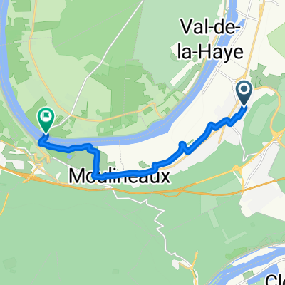
 De 2 Chemin des Templiers, Val-de-la-Haye à Quai de Boisguilbert, Rouen
- Distance
- 12.5 km
- Ascent
- 0 m
- Descent
- 4 m
- Location
- Grand-Couronne, Normandy, France
 20150922_140604.gpx
- Distance
- 96.6 km
- Ascent
- 438 m
- Descent
- 434 m
- Location
- Grand-Couronne, Normandy, France
 20150929_135005.gpx
- Distance
- 94.2 km
- Ascent
- 410 m
- Descent
- 413 m
- Location
- Grand-Couronne, Normandy, France
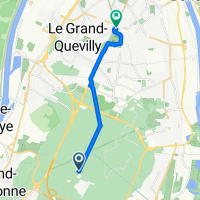 retour vélo en forêt avec Jules et moi
- Distance
- 7.9 km
- Ascent
- 3 m
- Descent
- 75 m
- Location
- Grand-Couronne, Normandy, France
 De D13E 6, Grand-Couronne à Rue de la Boulaie, Saint-Étienne-du-Rouvray
- Distance
- 8.9 km
- Ascent
- 76 m
- Descent
- 37 m
- Location
- Grand-Couronne, Normandy, France
 20150806_135533.gpx
- Distance
- 110.9 km
- Ascent
- 601 m
- Descent
- 597 m
- Location
- Grand-Couronne, Normandy, France
Open it in the app