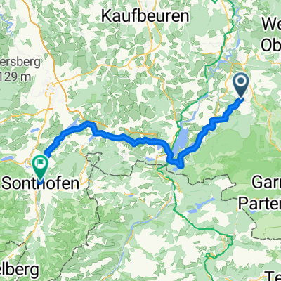
Bad Bayersoien-Auerberg (Movelo E-Bike Akkuwechselstation)
- 67 km
- 661 m
- 664 m
- Wildsteig, Bavaria, Germany
A cycling route starting in Wildsteig, Bavaria, Germany.
Overview
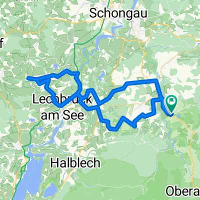
Description Beautiful winter hiking trail from Bad Bayersoien to Bad Kohlgrub and back. Difficulty: easy Distance: 12.8 km Ascent: 150 m Descent: 151 m Duration: 4:16 h Lowest point: 787 m Highest point: 873 m (cloned from route 2654745)
created this 10 years ago
Continue with Bikemap
You would like to ride Winterwanderung - Geizenmoos or customize it for your own trip? Here is what you can do with this Bikemap route:
Free trial for 3 days, or one-time payment. More about Bikemap Premium.
Discover more Premium features.
Get Bikemap PremiumFrom our community
Open it in the app