2Turm Tour 230421
- 44.2 km
- 761 m
- 759 m
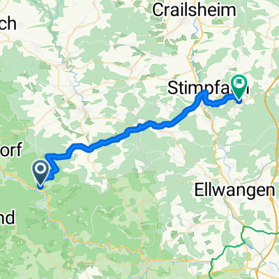
- Gerabronn, Baden-Wurttemberg, Germany
A cycling route starting in Gerabronn, Baden-Wurttemberg, Germany.
Overview
Very idyllic route starting in Sulzbach-Kocher. Across Bühlertal, it goes through the forests to Ellwangen. Return via regular roads with little traffic through Zumholz - Unterknausen to Jagstzell. Beautiful high road starting from Randenweiler - Sandhof-Mainkling - Vorderuhlberg.
created this 16 years ago
Continue with Bikemap
You would like to ride MTB Bühler-Jagst-Kochertal mit Einkehr in Ellwangen or customize it for your own trip? Here is what you can do with this Bikemap route:
Free trial for 3 days, or one-time payment. More about Bikemap Premium.
Discover more Premium features.
Get Bikemap PremiumFrom our community
Open it in the app