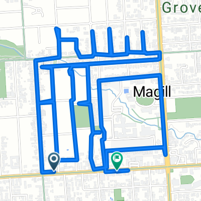
3 Ways to Norton Summit V1
A cycling route starting in Wattle Park, South Australia, Australia.
Overview
About this route
-
Up Norton Summit > Down Norton Summit
 Up Coachhouse/Woodlands to Norton Summit > Down Norton Smmit
-
Up Old Norton Summit > Down Norton Summit
-
Finish... now you know your alve!
-
- -:--
- Duration
- 39.8 km
- Distance
- 888 m
- Ascent
- 888 m
- Descent
- ---
- Avg. speed
- ---
- Max. altitude
Route quality
Waytypes & surfaces along the route
Waytypes
Quiet road
4 km
(10 %)
Undefined
35.8 km
(90 %)
Surfaces
Paved
39.8 km
(100 %)
Asphalt
39.8 km
(100 %)
Continue with Bikemap
Use, edit, or download this cycling route
You would like to ride 3 Ways to Norton Summit V1 or customize it for your own trip? Here is what you can do with this Bikemap route:
Free features
- Save this route as favorite or in collections
- Copy & plan your own version of this route
- Sync your route with Garmin or Wahoo
Premium features
Free trial for 3 days, or one-time payment. More about Bikemap Premium.
- Navigate this route on iOS & Android
- Export a GPX / KML file of this route
- Create your custom printout (try it for free)
- Download this route for offline navigation
Discover more Premium features.
Get Bikemap PremiumFrom our community
Other popular routes starting in Wattle Park
- magill drop#3 500 hre and PA 17 April 2025
- Distance
- 5.5 km
- Ascent
- 38 m
- Descent
- 45 m
- Location
- Wattle Park, South Australia, Australia
- magill drop# 750 hre + PA 12 april 2025
- Distance
- 12.9 km
- Ascent
- 180 m
- Descent
- 151 m
- Location
- Wattle Park, South Australia, Australia
- Interim Saturday route
- Distance
- 71 km
- Ascent
- 924 m
- Descent
- 953 m
- Location
- Wattle Park, South Australia, Australia
- Wattle Park Bakery to Uraidla
- Distance
- 42.4 km
- Ascent
- 764 m
- Descent
- 764 m
- Location
- Wattle Park, South Australia, Australia
- Stonyfell,Montacute,Marble Hill,Ashton,Greenhill,Stonyfell
- Distance
- 32.1 km
- Ascent
- 573 m
- Descent
- 578 m
- Location
- Wattle Park, South Australia, Australia
- magill drop #3 500 Hre a PA 21st May 2025
- Distance
- 8.1 km
- Ascent
- 51 m
- Descent
- 56 m
- Location
- Wattle Park, South Australia, Australia
- Magill drop# 500 hre a pa 29th April 2025
- Distance
- 8.6 km
- Ascent
- 78 m
- Descent
- 104 m
- Location
- Wattle Park, South Australia, Australia
- Stonyfell,Norton Summit, Greenhill , Stonyfell
- Distance
- 22.9 km
- Ascent
- 513 m
- Descent
- 512 m
- Location
- Wattle Park, South Australia, Australia
Open it in the app