
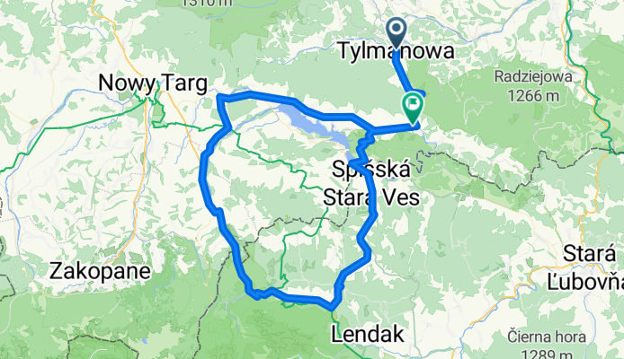
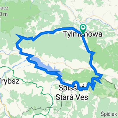
TYLMANOWA_BIAŁKA_STARAVES
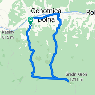
A cycling route starting in Ochotnica Dolna, Lesser Poland Voivodeship, Poland.
Overview
About this route
Podhale
- -:--
- Duration
- 102 km
- Distance
- 1,258 m
- Ascent
- 1,242 m
- Descent
- ---
- Avg. speed
- ---
- Max. altitude

Route quality
Waytypes & surfaces along the route
Waytypes
Road
16.3 km
(16 %)
Quiet road
11.2 km
(11 %)
Surfaces
Paved
80.6 km
(79 %)
Unpaved
9.2 km
(9 %)
Asphalt
80.6 km
(79 %)
Unpaved (undefined)
7.1 km
(7 %)
Continue with Bikemap
Use, edit, or download this cycling route
You would like to ride TYLMANOWA_BIAŁKA_STARAVES or customize it for your own trip? Here is what you can do with this Bikemap route:
Free features
- Save this route as favorite or in collections
- Copy & plan your own version of this route
- Split it into stages to create a multi-day tour
- Sync your route with Garmin or Wahoo
Premium features
Free trial for 3 days, or one-time payment. More about Bikemap Premium.
- Navigate this route on iOS & Android
- Export a GPX / KML file of this route
- Create your custom printout (try it for free)
- Download this route for offline navigation
Discover more Premium features.
Get Bikemap PremiumFrom our community
Other popular routes starting in Ochotnica Dolna
 Atak na Lubań
- Distance
- 14.4 km
- Ascent
- 763 m
- Descent
- 763 m
- Location
- Ochotnica Dolna, Lesser Poland Voivodeship, Poland
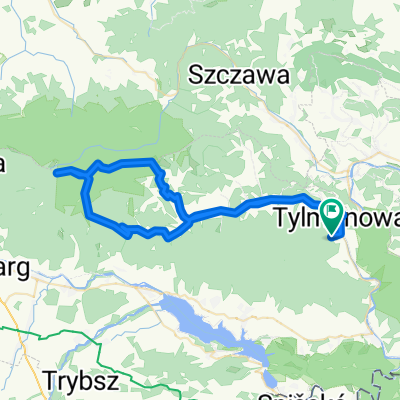
 Tylma Radziejowa granica
- Distance
- 57.1 km
- Ascent
- 1,416 m
- Descent
- 1,419 m
- Location
- Ochotnica Dolna, Lesser Poland Voivodeship, Poland
 burzowy weekend
- Distance
- 75.6 km
- Ascent
- 1,181 m
- Descent
- 1,181 m
- Location
- Ochotnica Dolna, Lesser Poland Voivodeship, Poland
 Tylmanova to Zakliczyn
- Distance
- 92.1 km
- Ascent
- 1,305 m
- Descent
- 1,485 m
- Location
- Ochotnica Dolna, Lesser Poland Voivodeship, Poland
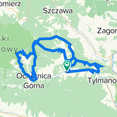
 Tylmanowa Turbacz Przyslop Tylmanowa
- Distance
- 58.1 km
- Ascent
- 1,138 m
- Descent
- 1,138 m
- Location
- Ochotnica Dolna, Lesser Poland Voivodeship, Poland
 Velo Czorsztyn + Velo Dunajec
- Distance
- 78 km
- Ascent
- 1,089 m
- Descent
- 1,092 m
- Location
- Ochotnica Dolna, Lesser Poland Voivodeship, Poland
 Etap III Gorc 2022 HARD
- Distance
- 51.5 km
- Ascent
- 2,292 m
- Descent
- 2,297 m
- Location
- Ochotnica Dolna, Lesser Poland Voivodeship, Poland
 Rekiny meeting trasa 15.08
- Distance
- 59.4 km
- Ascent
- 1,114 m
- Descent
- 1,114 m
- Location
- Ochotnica Dolna, Lesser Poland Voivodeship, Poland
Open it in the app