

20140518_105005.gpx
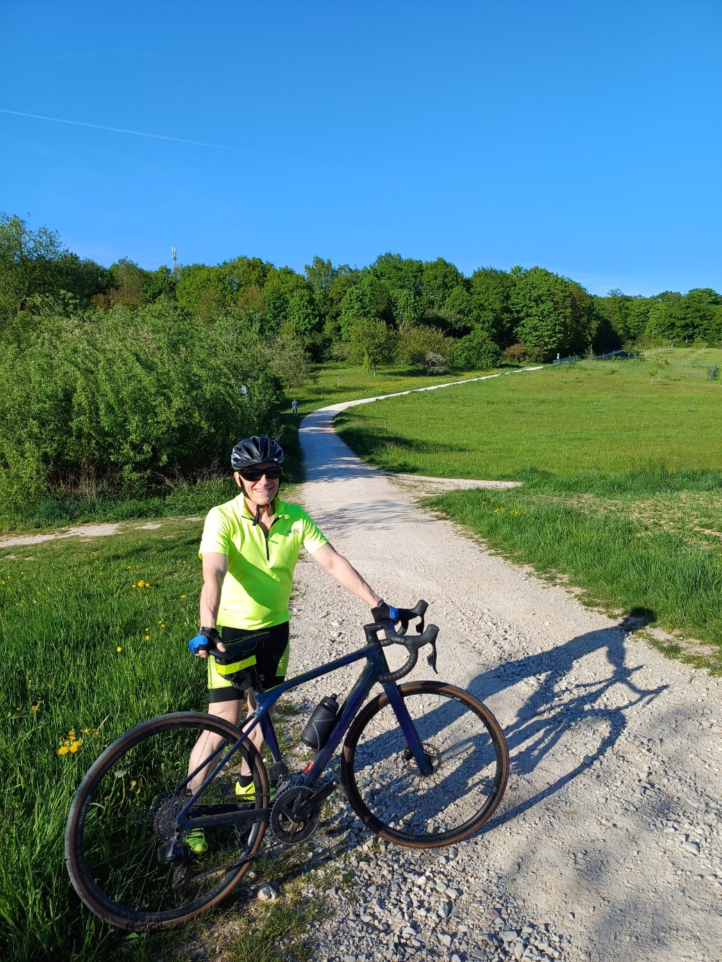
A cycling route starting in Hochheim am Main, Hesse, Germany.
Overview
About this route
TEASI track
- -:--
- Duration
- 17.9 km
- Distance
- 58 m
- Ascent
- 55 m
- Descent
- ---
- Avg. speed
- ---
- Max. altitude
Route quality
Waytypes & surfaces along the route
Waytypes
Track
6.6 km
(37 %)
Quiet road
4.3 km
(24 %)
Surfaces
Paved
11.3 km
(63 %)
Unpaved
2.9 km
(16 %)
Asphalt
7 km
(39 %)
Concrete
4.1 km
(23 %)
Continue with Bikemap
Use, edit, or download this cycling route
You would like to ride 20140518_105005.gpx or customize it for your own trip? Here is what you can do with this Bikemap route:
Free features
- Save this route as favorite or in collections
- Copy & plan your own version of this route
- Sync your route with Garmin or Wahoo
Premium features
Free trial for 3 days, or one-time payment. More about Bikemap Premium.
- Navigate this route on iOS & Android
- Export a GPX / KML file of this route
- Create your custom printout (try it for free)
- Download this route for offline navigation
Discover more Premium features.
Get Bikemap PremiumFrom our community
Other popular routes starting in Hochheim am Main
 Wallau-MTB-Runde 2
- Distance
- 48.6 km
- Ascent
- 631 m
- Descent
- 631 m
- Location
- Hochheim am Main, Hesse, Germany
 Nordenstadt - Steinkopf - Nordenstadt
- Distance
- 23 km
- Ascent
- 298 m
- Descent
- 303 m
- Location
- Hochheim am Main, Hesse, Germany
 MTB/Crosser Dienstags-Winterrunde
- Distance
- 48.1 km
- Ascent
- 157 m
- Descent
- 122 m
- Location
- Hochheim am Main, Hesse, Germany
 MTB Runde bei Breckenheim
- Distance
- 49.6 km
- Ascent
- 478 m
- Descent
- 455 m
- Location
- Hochheim am Main, Hesse, Germany
 Homestead Route
- Distance
- 18.1 km
- Ascent
- 160 m
- Descent
- 158 m
- Location
- Hochheim am Main, Hesse, Germany
 Nordenstadt-Breckenheim-Bremthal-Auringen
- Distance
- 28 km
- Ascent
- 284 m
- Descent
- 281 m
- Location
- Hochheim am Main, Hesse, Germany
 Runde durch Bad Weilbach, Flörsheim und Hochheim a. M.
- Distance
- 30.2 km
- Ascent
- 152 m
- Descent
- 152 m
- Location
- Hochheim am Main, Hesse, Germany
 Nordenstadt-Breckenheim-Wildsachsen-Bremtal
- Distance
- 23.4 km
- Ascent
- 236 m
- Descent
- 234 m
- Location
- Hochheim am Main, Hesse, Germany
Open it in the app