

Durbach / Weiler nach Moosenwaldkopf
- 34.6 km
- 716 m
- 843 m
- Durbach, Baden-Wurttemberg, Germany
A cycling route starting in Durbach, Baden-Wurttemberg, Germany.
Overview
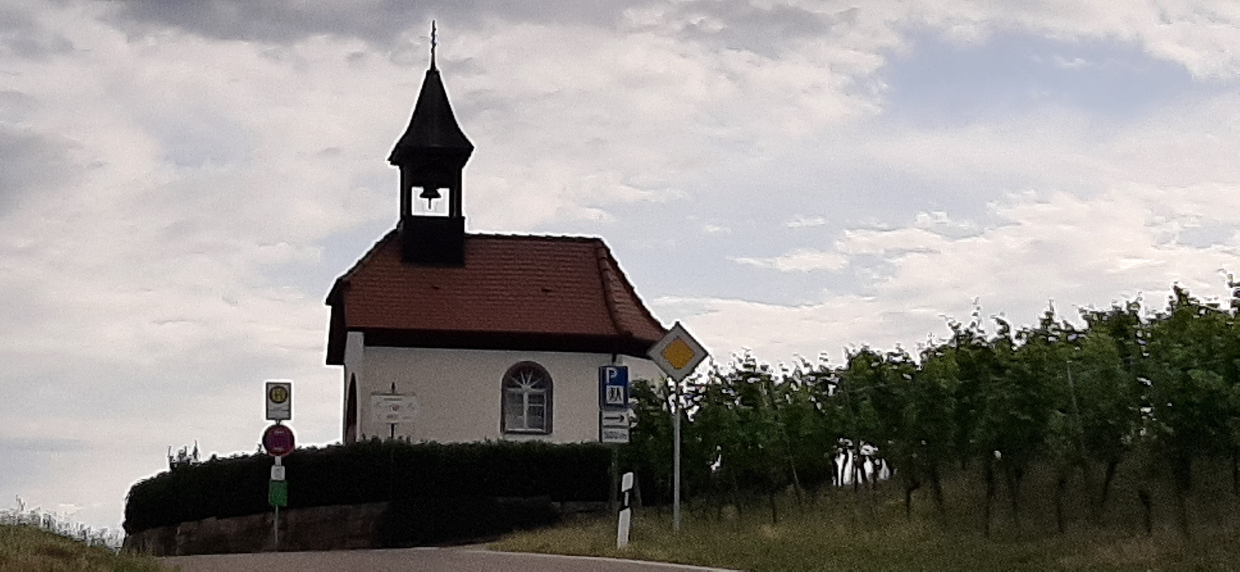
Durbach
created this 10 years ago
Route quality
Track
10.1 km
(63 %)
Pedestrian area
2.1 km
(13 %)
Paved
1.9 km
(12 %)
Unpaved
12.8 km
(80 %)
Unpaved (undefined)
5.1 km
(32 %)
Gravel
4.7 km
(29 %)
Route highlights
Plauelrainer/Köpfle
Schloss Staufenberg
Bildeiche
Continue with Bikemap
You would like to ride Genießerpfad - Premiumwanderweg Durbacher Weinpanorama or customize it for your own trip? Here is what you can do with this Bikemap route:
Free trial for 3 days, or one-time payment. More about Bikemap Premium.
Discover more Premium features.
Get Bikemap PremiumFrom our community
Open it in the app


