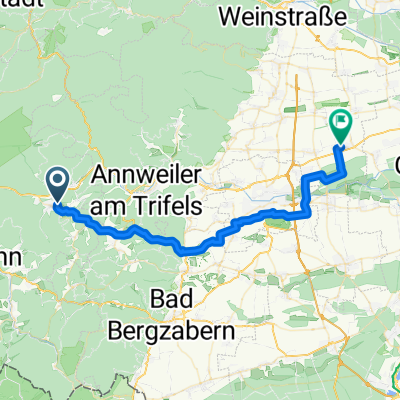
Hauensteiner Höhenweg
- 18.5 km
- 441 m
- 441 m
- Hauenstein, Rhineland-Palatinate, Germany
A cycling route starting in Hauenstein, Rhineland-Palatinate, Germany.
Overview
For centuries, the village of Hauenstein was abandoned and hidden in the Palatinate Forest, but in 1886 a significant moment arrived when the Seibel brothers founded the first shoe factory. Since then, shoes have been part of Hauenstein. You should also choose good footwear. A particular appeal lies in the contrast of the tour through the ridges around Hauenstein. The western part mainly leads through deciduous forests and has very few rocks.
created this 10 years ago
Route highlights
Schutzhütte
Winterkirchel
Dicke Eiche
Wanderheim "Dicke Eiche"
Hühnerstein
Schutzhütte Weimersborn
Kreuzelfelsen
Karmelitinnenkloster St. Josef
Bahnhof Hauenstein
Continue with Bikemap
You would like to ride Hauensteiner Höhenweg or customize it for your own trip? Here is what you can do with this Bikemap route:
Free trial for 3 days, or one-time payment. More about Bikemap Premium.
Discover more Premium features.
Get Bikemap PremiumFrom our community
Open it in the app