UD- - Bad Wörishofen - UD
- 57.6 km
- 199 m
- 198 m
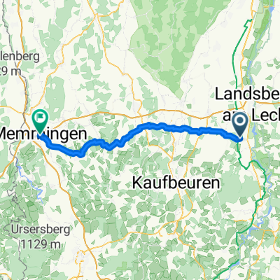
- Unterdießen, Bavaria, Germany
A cycling route starting in Unterdießen, Bavaria, Germany.
Overview
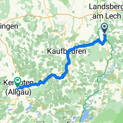
Easy tour to Wörishofen and back via Hardenthal.
created this 10 years ago
Route quality
Quiet road
32.8 km
(57 %)
Track
12.1 km
(21 %)
Paved
36.9 km
(64 %)
Unpaved
4 km
(7 %)
Asphalt
33.4 km
(58 %)
Paved (undefined)
3.5 km
(6 %)
Continue with Bikemap
You would like to ride UD- - Bad Wörishofen - UD or customize it for your own trip? Here is what you can do with this Bikemap route:
Free trial for 3 days, or one-time payment. More about Bikemap Premium.
Discover more Premium features.
Get Bikemap PremiumFrom our community
Open it in the app