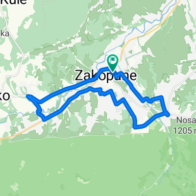
Masa Krytyczna - Pierwsza na Podhalu!
- 13.8 km
- 191 m
- 191 m
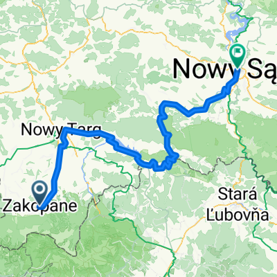
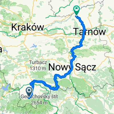
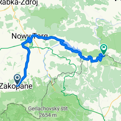
- Zakopane, Lesser Poland Voivodeship, Poland
A cycling route starting in Zakopane, Lesser Poland Voivodeship, Poland.
Overview
projekt wersja beta
kwestia powrotnej trasy do Zakopca jeszcze do rozwiazaniacreated this 10 years ago
Route quality
Road
72.6 km
(19 %)
Quiet road
61.1 km
(16 %)
Paved
236.9 km
(62 %)
Unpaved
15.3 km
(4 %)
Asphalt
236.9 km
(62 %)
Gravel
15.3 km
(4 %)
Undefined
129.9 km
(34 %)
Route highlights
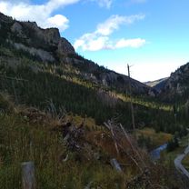
Uhornianskie sedlo
Kojsovska hola 1246m
Continue with Bikemap
You would like to ride Zakopane-Slovensky_Raj-Roznava-ÚHORNIANSKE_SEDLO-Zlata_Idka-KOJSOVSKA_HOLA-Krompachy-Levoca-SpisskaBela-Zakopane 4-5d - ?? or customize it for your own trip? Here is what you can do with this Bikemap route:
Free trial for 3 days, or one-time payment. More about Bikemap Premium.
Discover more Premium features.
Get Bikemap PremiumFrom our community
Open it in the app