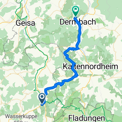
Hilders Hochrhöntour loop
A cycling route starting in Hilders, Hesse, Germany.
Overview
About this route
Not yet ridden (cloned from route 1346015)
- -:--
- Duration
- 51 km
- Distance
- 907 m
- Ascent
- 906 m
- Descent
- ---
- Avg. speed
- ---
- Max. altitude
Route quality
Waytypes & surfaces along the route
Waytypes
Track
27.5 km
(54 %)
Quiet road
8.7 km
(17 %)
Surfaces
Paved
26 km
(51 %)
Unpaved
20.9 km
(41 %)
Asphalt
21.9 km
(43 %)
Gravel
7.6 km
(15 %)
Continue with Bikemap
Use, edit, or download this cycling route
You would like to ride Hilders Hochrhöntour loop or customize it for your own trip? Here is what you can do with this Bikemap route:
Free features
- Save this route as favorite or in collections
- Copy & plan your own version of this route
- Sync your route with Garmin or Wahoo
Premium features
Free trial for 3 days, or one-time payment. More about Bikemap Premium.
- Navigate this route on iOS & Android
- Export a GPX / KML file of this route
- Create your custom printout (try it for free)
- Download this route for offline navigation
Discover more Premium features.
Get Bikemap PremiumFrom our community
Other popular routes starting in Hilders
Hilders Runde- Distance
- 41.4 km
- Ascent
- 978 m
- Descent
- 957 m
- Location
- Hilders, Hesse, Germany
Ellenbogen ab Batten- Distance
- 34.9 km
- Ascent
- 663 m
- Descent
- 663 m
- Location
- Hilders, Hesse, Germany
Milseburgradweg- Distance
- 27 km
- Ascent
- 207 m
- Descent
- 331 m
- Location
- Hilders, Hesse, Germany
2,Tag Hilders/Eckweisbach nach Vacha- Distance
- 69.3 km
- Ascent
- 359 m
- Descent
- 568 m
- Location
- Hilders, Hesse, Germany
81km_Rhön: NüstalRW-HaunetalRW-KegelspielRW-UlsterRW- Distance
- 80.8 km
- Ascent
- 383 m
- Descent
- 391 m
- Location
- Hilders, Hesse, Germany
Hilders - Geisa - Hünfeld - Hilders- Distance
- 93.6 km
- Ascent
- 900 m
- Descent
- 903 m
- Location
- Hilders, Hesse, Germany
Der Hilderser- Distance
- 13 km
- Ascent
- 486 m
- Descent
- 486 m
- Location
- Hilders, Hesse, Germany
Hilders - Milseburgtunnel - Wasserkuppe - Hilders- Distance
- 38.5 km
- Ascent
- 717 m
- Descent
- 716 m
- Location
- Hilders, Hesse, Germany
Open it in the app

