boulot Chaumont en Vexin Rouen
- 148.9 km
- 627 m
- 741 m
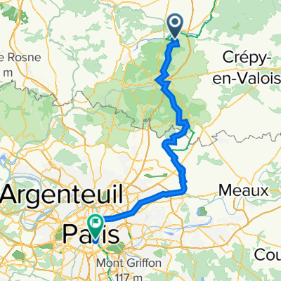
- Pontpoint, Hauts-de-France, France
A cycling route starting in Pontpoint, Hauts-de-France, France.
Overview
montpagnotte-villeneuve-verberie-oise-
created this 10 years ago
Route quality
Track
7.3 km
(37 %)
Road
6.1 km
(31 %)
Paved
3.7 km
(19 %)
Unpaved
5.1 km
(26 %)
Gravel
2.9 km
(15 %)
Paved (undefined)
2.2 km
(11 %)
Continue with Bikemap
You would like to ride montpagnotte-villeneuve-verberie-oise- or customize it for your own trip? Here is what you can do with this Bikemap route:
Free trial for 3 days, or one-time payment. More about Bikemap Premium.
Discover more Premium features.
Get Bikemap PremiumFrom our community
Open it in the app