

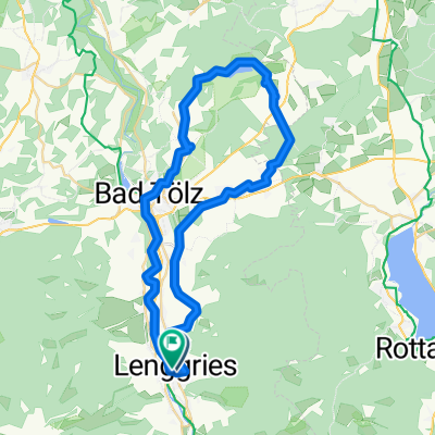
An der Benewand entlang
A cycling route starting in Lenggries, Bavaria, Germany.
Overview
About this route
- -:--
- Duration
- 41.4 km
- Distance
- 900 m
- Ascent
- 908 m
- Descent
- ---
- Avg. speed
- ---
- Max. altitude
Continue with Bikemap
Use, edit, or download this cycling route
You would like to ride An der Benewand entlang or customize it for your own trip? Here is what you can do with this Bikemap route:
Free features
- Save this route as favorite or in collections
- Copy & plan your own version of this route
- Sync your route with Garmin or Wahoo
Premium features
Free trial for 3 days, or one-time payment. More about Bikemap Premium.
- Navigate this route on iOS & Android
- Export a GPX / KML file of this route
- Create your custom printout (try it for free)
- Download this route for offline navigation
Discover more Premium features.
Get Bikemap PremiumFrom our community
Other popular routes starting in Lenggries
 Obergries - Aueralm - Obergries
- Distance
- 40.5 km
- Ascent
- 877 m
- Descent
- 875 m
- Location
- Lenggries, Bavaria, Germany
 2026_V2_ALPX_Brenner
- Distance
- 354.1 km
- Ascent
- 6,800 m
- Descent
- 7,414 m
- Location
- Lenggries, Bavaria, Germany
 Reichenau-Schwarzenbach (Jachau) (36,1 km)
- Distance
- 35.5 km
- Ascent
- 1,154 m
- Descent
- 1,153 m
- Location
- Lenggries, Bavaria, Germany
 An der Benewand entlang
- Distance
- 41.4 km
- Ascent
- 900 m
- Descent
- 908 m
- Location
- Lenggries, Bavaria, Germany
 Sonntraten
- Distance
- 4.4 km
- Ascent
- 362 m
- Descent
- 344 m
- Location
- Lenggries, Bavaria, Germany
 Ronda Isaria - 2. Hälfte
- Distance
- 56.1 km
- Ascent
- 1,182 m
- Descent
- 1,217 m
- Location
- Lenggries, Bavaria, Germany
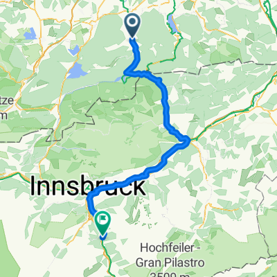 Lenggries nach Matrei a. Br. Gemeindeamt
- Distance
- 111.3 km
- Ascent
- 2,203 m
- Descent
- 1,895 m
- Location
- Lenggries, Bavaria, Germany
 Klosterrunde Sachsenkam - Kloster Reutberg
- Distance
- 50.9 km
- Ascent
- 478 m
- Descent
- 481 m
- Location
- Lenggries, Bavaria, Germany
Open it in the app