

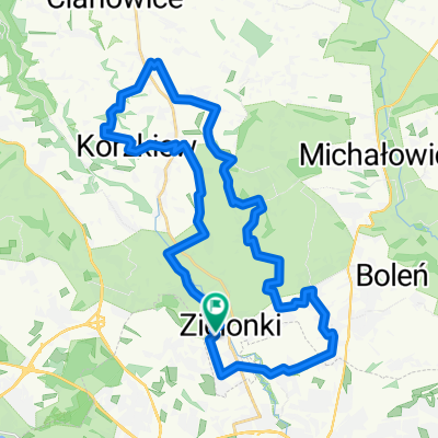
dolinki podkrakowskie listopad 2015
A cycling route starting in Zielonki, Lesser Poland Voivodeship, Poland.
Overview
About this route
0
dolinki podkrakowskie listopad 2015
- -:--
- Duration
- 68.2 km
- Distance
- 636 m
- Ascent
- 634 m
- Descent
- ---
- Avg. speed
- ---
- Max. altitude
margs73
created this 10 years ago
Route quality
Waytypes & surfaces along the route
Waytypes
Road
24.6 km
36 %
Quiet road
22.5 km
33 %
Surfaces
Paved
45 km
(66 %)
Unpaved
14.3 km
(21 %)
Asphalt
44.3 km
65 %
Ground
8.2 km
12 %
Continue with Bikemap
Use, edit, or download this cycling route
You would like to ride dolinki podkrakowskie listopad 2015 or customize it for your own trip? Here is what you can do with this Bikemap route:
Free features
- Save this route as favorite or in collections
- Copy & plan your own version of this route
- Sync your route with Garmin or Wahoo
Premium features
Free trial for 3 days, or one-time payment. More about Bikemap Premium.
- Navigate this route on iOS & Android
- Export a GPX / KML file of this route
- Create your custom printout (try it for free)
- Download this route for offline navigation
Discover more Premium features.
Get Bikemap PremiumFrom our community
Other popular routes starting in Zielonki
- a miało być tak pięknie -dramatyczna ekipa0
- 28 km
- 185 m
- 184 m
- Zielonki, Lesser Poland Voivodeship, Poland
- Krakowskie Przedmieście, Zielonki do Halicka, Kraków0
- 87.4 km
- 1,032 m
- 1,078 m
- Zielonki, Lesser Poland Voivodeship, Poland


Open it in the app