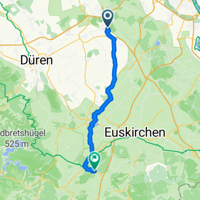
Kerpen-Merzenich-Buir-Kerpen
A cycling route starting in Kerpen, North Rhine-Westphalia, Germany.
Overview
About this route
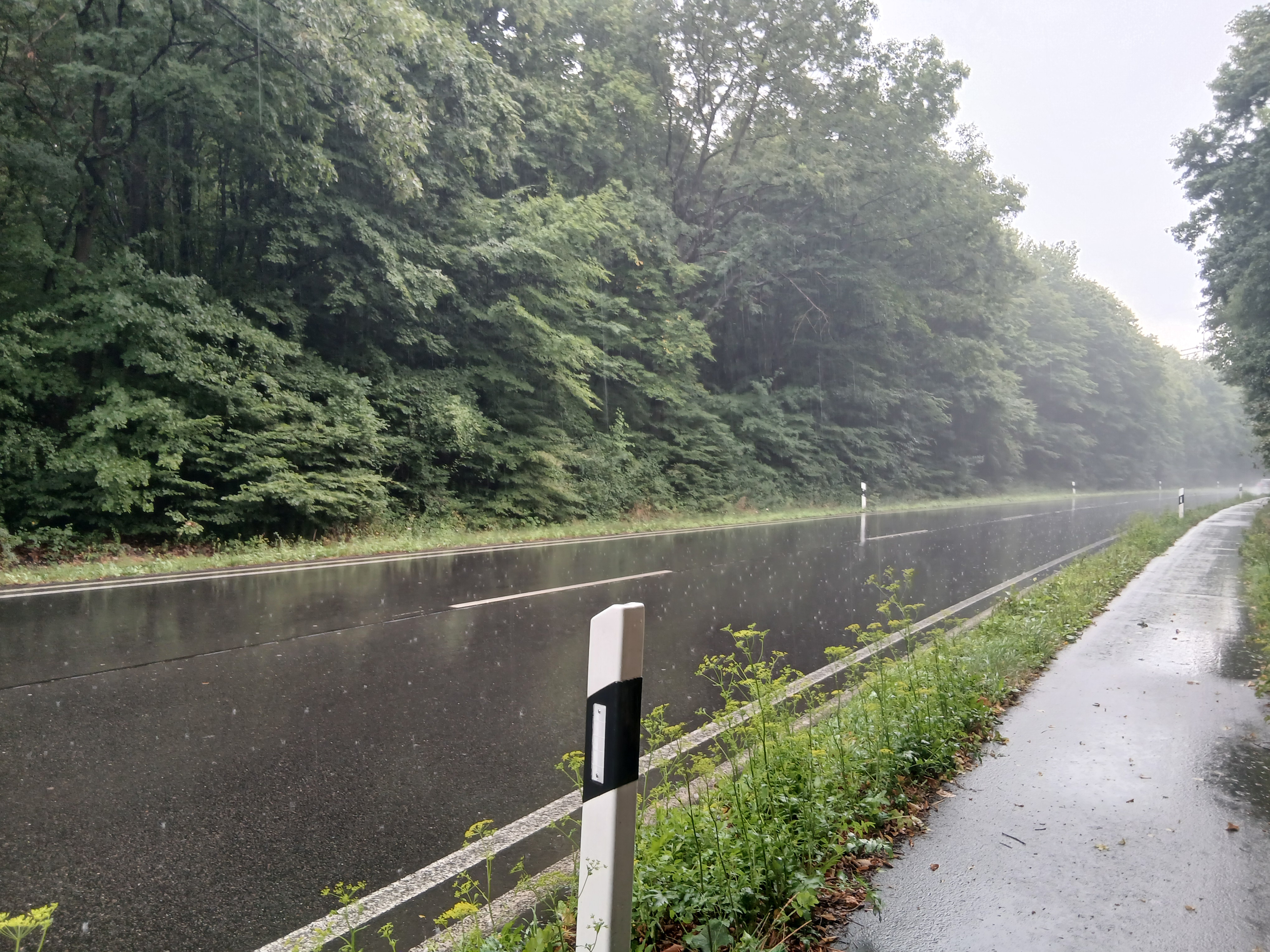
Verkehrsarme Rundtour
- -:--
- Duration
- 44.6 km
- Distance
- 102 m
- Ascent
- 102 m
- Descent
- ---
- Avg. speed
- ---
- Max. altitude
Route quality
Waytypes & surfaces along the route
Waytypes
Track
17.8 km
(40 %)
Quiet road
13.8 km
(31 %)
Surfaces
Paved
29 km
(65 %)
Asphalt
16.9 km
(38 %)
Paved (undefined)
12 km
(27 %)
Undefined
15.6 km
(35 %)
Continue with Bikemap
Use, edit, or download this cycling route
You would like to ride Kerpen-Merzenich-Buir-Kerpen or customize it for your own trip? Here is what you can do with this Bikemap route:
Free features
- Save this route as favorite or in collections
- Copy & plan your own version of this route
- Sync your route with Garmin or Wahoo
Premium features
Free trial for 3 days, or one-time payment. More about Bikemap Premium.
- Navigate this route on iOS & Android
- Export a GPX / KML file of this route
- Create your custom printout (try it for free)
- Download this route for offline navigation
Discover more Premium features.
Get Bikemap PremiumFrom our community
Other popular routes starting in Kerpen
- Horrem-Merzenich-Nörvenich Horrem
- Distance
- 46.4 km
- Ascent
- 111 m
- Descent
- 134 m
- Location
- Kerpen, North Rhine-Westphalia, Germany
- Ueber die Felder
- Distance
- 56 km
- Ascent
- 128 m
- Descent
- 111 m
- Location
- Kerpen, North Rhine-Westphalia, Germany
- Erft-Radweg - von Sindorf zur Mündung
- Distance
- 34.5 km
- Ascent
- 4 m
- Descent
- 23 m
- Location
- Kerpen, North Rhine-Westphalia, Germany
- Rund um Nörvenich
- Distance
- 40.1 km
- Ascent
- 78 m
- Descent
- 65 m
- Location
- Kerpen, North Rhine-Westphalia, Germany
- Erft-Radweg - von Sindorf zur Mündung
- Distance
- 59.5 km
- Ascent
- 27 m
- Descent
- 56 m
- Location
- Kerpen, North Rhine-Westphalia, Germany
- Rund um die Erft und Boisdorfer See
- Distance
- 17.6 km
- Ascent
- 65 m
- Descent
- 65 m
- Location
- Kerpen, North Rhine-Westphalia, Germany
- Bergheimer Acht
- Distance
- 58.9 km
- Ascent
- 120 m
- Descent
- 146 m
- Location
- Kerpen, North Rhine-Westphalia, Germany
- Schöne Rennradtour
- Distance
- 91.5 km
- Ascent
- 265 m
- Descent
- 266 m
- Location
- Kerpen, North Rhine-Westphalia, Germany
Open it in the app