EE Wandertag Glainach - Variante Wasserleitung
A cycling route starting in Ferlach, Carinthia, Austria.
Overview
About this route
- -:--
- Duration
- 30.2 km
- Distance
- 769 m
- Ascent
- 771 m
- Descent
- ---
- Avg. speed
- ---
- Max. altitude
Route highlights
Points of interest along the route
Point of interest after 1.7 km
1
Point of interest after 4.6 km
2
Point of interest after 4.6 km
Point of interest after 7 km
3
Point of interest after 10.3 km
4
Point of interest after 10.3 km
Point of interest after 11.9 km
5
Point of interest after 14.7 km
6
Point of interest after 14.7 km
Point of interest after 17.9 km
9
Point of interest after 17.9 km
Point of interest after 20.6 km
8
Point of interest after 23 km
Point of interest after 23.1 km
7
Point of interest after 27 km
10
Point of interest after 27.1 km
Continue with Bikemap
Use, edit, or download this cycling route
You would like to ride EE Wandertag Glainach - Variante Wasserleitung or customize it for your own trip? Here is what you can do with this Bikemap route:
Free features
- Save this route as favorite or in collections
- Copy & plan your own version of this route
- Sync your route with Garmin or Wahoo
Premium features
Free trial for 3 days, or one-time payment. More about Bikemap Premium.
- Navigate this route on iOS & Android
- Export a GPX / KML file of this route
- Create your custom printout (try it for free)
- Download this route for offline navigation
Discover more Premium features.
Get Bikemap PremiumFrom our community
Other popular routes starting in Ferlach
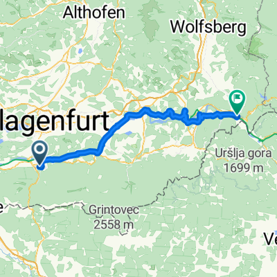
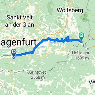
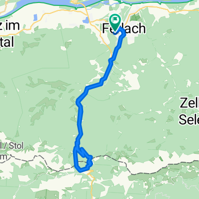
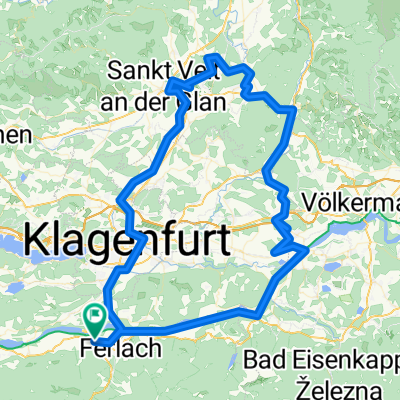
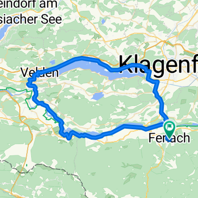
Route to Pfarrkirche Heiliger Martin in Ferlach/Borovlje- Distance
- 70.9 km
- Ascent
- 579 m
- Descent
- 579 m
- Location
- Ferlach, Carinthia, Austria
Ferlach - Lavamünd 2- Distance
- 73.2 km
- Ascent
- 297 m
- Descent
- 416 m
- Location
- Ferlach, Carinthia, Austria
04 Rosental - Ferlach - Rosegg - Faaker See- Distance
- 49.5 km
- Ascent
- 337 m
- Descent
- 194 m
- Location
- Ferlach, Carinthia, Austria
Route in Ferlach- Distance
- 115.1 km
- Ascent
- 1,305 m
- Descent
- 1,305 m
- Location
- Ferlach, Carinthia, Austria
Ferlach-Dravograd- Distance
- 83.8 km
- Ascent
- 881 m
- Descent
- 953 m
- Location
- Ferlach, Carinthia, Austria
Ferlach - Lavamünd 3- Distance
- 74.5 km
- Ascent
- 274 m
- Descent
- 393 m
- Location
- Ferlach, Carinthia, Austria
Drau Mur Runde 04- Distance
- 49.9 km
- Ascent
- 180 m
- Descent
- 215 m
- Location
- Ferlach, Carinthia, Austria
Drauradweg Etappe 5: Ferlach-Lavamünd/Jauntal- Distance
- 73.4 km
- Ascent
- 688 m
- Descent
- 780 m
- Location
- Ferlach, Carinthia, Austria
Open it in the app

