

RSCN Albiez-Le-Vieuxe
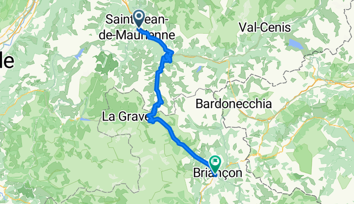
- 34.3 km
- 983 m
- 984 m
- Saint-Jean-de-Maurienne, Auvergne-Rhône-Alpes, France
montuoso
Quiet road
2.5 km3 %Undefined
81.2 km97 %Paved
72.8 km(87 %)Asphalt
72.8 km87 %Undefined
10.9 km13 %Free trial for 3 days, or one-time payment. More about Bikemap Premium.
Discover more Premium features.
Get Bikemap PremiumOpen it in the app


