Trail hunter - Trail hunter
- 8.3 km
- 374 m
- 702 m
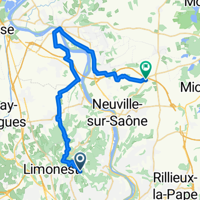
- Limonest, Auvergne-Rhône-Alpes, France
This is a nice aerobic workout in a short distance. Its some of the nicest scenery right next to Lyon.
Quiet road
5.9 km45 %Road
4.7 km36 %Undefined
2.5 km19 %Paved
5.4 km(41 %)Asphalt
5.4 km41 %Undefined
7.8 km59 %Free trial for 3 days, or one-time payment. More about Bikemap Premium.
Discover more Premium features.
Get Bikemap PremiumOpen it in the app