Steady ride in Nantes
- 136 km
- 687 m
- 755 m
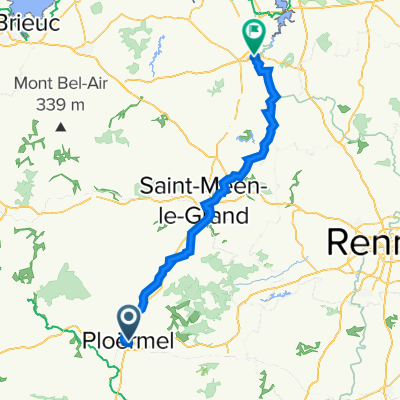
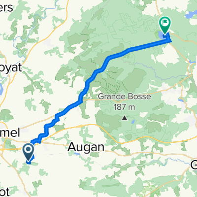
- Ploërmel, Brittany Region, France
A cycling route starting in Ploërmel, Brittany Region, France.
Overview
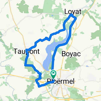
Starting point: old station of Ploërmel (GPS coordinates: 02°24'26''O / 47°56'04''N) To see along the way:
Ploërmel: founded in the 6th century by Saint Armel, the town prospered in the Middle Ages by becoming the residence of the Dukes of Brittany. You can visit the church of Saint Armel (15th and 16th century); the astronomical clock, the Carmelite cloister, the old town and its half-timbered houses.
Le Vieux Bourg: originally, it was the first village of Taupont that controlled a ford on the river. The church of Saint Golven and its calvary have been listed as historical monuments since 1925. Inside, the large altar from the 17th century has obscured a stained-glass window.
Loyat: it is the land of witches. A fountain on the moor of Tréguier testifies to this. The legend says that young people who went there to have fun at night could meet beautiful sorceresses and disappear forever.
The manor of Lézonnet: the old feudal manor (now privately owned) is located facing the lake au duc. It still features a watchtower, an entrance, and a domestic chapel.
created this 10 years ago
Route quality
Quiet road
11.8 km
(59 %)
Cycleway
6.6 km
(33 %)
Paved
14.6 km
(73 %)
Asphalt
14.6 km
(73 %)
Undefined
5.4 km
(27 %)
Continue with Bikemap
You would like to ride Parcours 1 or customize it for your own trip? Here is what you can do with this Bikemap route:
Free trial for 3 days, or one-time payment. More about Bikemap Premium.
Discover more Premium features.
Get Bikemap PremiumFrom our community
Open it in the app