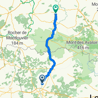
Etape3 MSM: de St Germain à Soucé
- 56.5 km
- 224 m
- 185 m
- Saint-Jean-sur-Mayenne, Pays de la Loire Region, France
xx
Path
21.5 km38 %Pedestrian area
14.7 km26 %Paved
22 km(39 %)Unpaved
24.3 km(43 %)Paved (undefined)
18.1 km32 %Loose gravel
17.5 km31 %Free trial for 3 days, or one-time payment. More about Bikemap Premium.
Discover more Premium features.
Get Bikemap PremiumOpen it in the app