

20150824_235827.gpx
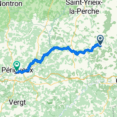
A cycling route starting in Juillac, Nouvelle-Aquitaine, France.
Overview
About this route
TEASI track
- -:--
- Duration
- 35.4 km
- Distance
- 413 m
- Ascent
- 413 m
- Descent
- ---
- Avg. speed
- ---
- Max. altitude
Route quality
Waytypes & surfaces along the route
Waytypes
Busy road
15 km
(42 %)
Road
12.4 km
(35 %)
Surfaces
Paved
23.6 km
(66 %)
Asphalt
23.6 km
(66 %)
Undefined
11.9 km
(34 %)
Route highlights
Points of interest along the route
Point of interest after 14 km
Stadscentrum
Point of interest after 18.9 km
Stadscentrum
Point of interest after 25 km
Stadscentrum
Point of interest after 31.5 km
Stadscentrum
Continue with Bikemap
Use, edit, or download this cycling route
You would like to ride 20150824_235827.gpx or customize it for your own trip? Here is what you can do with this Bikemap route:
Free features
- Save this route as favorite or in collections
- Copy & plan your own version of this route
- Sync your route with Garmin or Wahoo
Premium features
Free trial for 3 days, or one-time payment. More about Bikemap Premium.
- Navigate this route on iOS & Android
- Export a GPX / KML file of this route
- Create your custom printout (try it for free)
- Download this route for offline navigation
Discover more Premium features.
Get Bikemap PremiumFrom our community
Other popular routes starting in Juillac
 20150824_235827.gpx
- Distance
- 35.4 km
- Ascent
- 413 m
- Descent
- 413 m
- Location
- Juillac, Nouvelle-Aquitaine, France
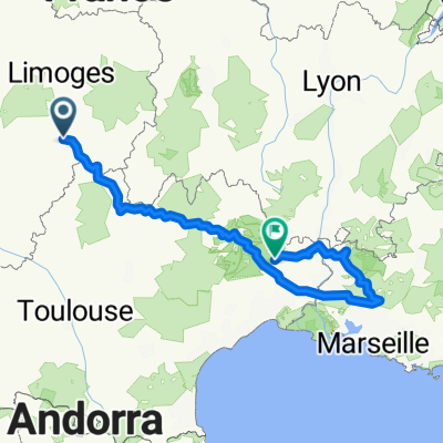 schönste Dörfer 1
- Distance
- 743.6 km
- Ascent
- 3,072 m
- Descent
- 3,268 m
- Location
- Juillac, Nouvelle-Aquitaine, France
 Rue du Canal, Juillac à Rue Bertrand-du Guesclin, Périgueux
- Distance
- 73.4 km
- Ascent
- 959 m
- Descent
- 1,168 m
- Location
- Juillac, Nouvelle-Aquitaine, France
 Easy ride in Sarlat-la-Canéda
- Distance
- 60.8 km
- Ascent
- 953 m
- Descent
- 1,086 m
- Location
- Juillac, Nouvelle-Aquitaine, France
 ayen
ayen- Distance
- 27.6 km
- Ascent
- 529 m
- Descent
- 532 m
- Location
- Juillac, Nouvelle-Aquitaine, France
 De Route de Plumoizeau, Juillac à 8 Rue Jacques Ranoux, Saint-Robert
- Distance
- 13 km
- Ascent
- 221 m
- Descent
- 225 m
- Location
- Juillac, Nouvelle-Aquitaine, France
 rundreise schönste Dörfer
- Distance
- 682.5 km
- Ascent
- 2,550 m
- Descent
- 2,551 m
- Location
- Juillac, Nouvelle-Aquitaine, France

Open it in the app