

02-Hirschberg-Ski
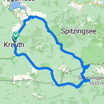
A cycling route starting in Kreuth, Bavaria, Germany.
Overview
About this route
From Kreuth to Rauheckalm Popular ski tour in the frequently visited Tegernsee valley. The popularity of Hirschberg has its reasons: It rises high and offers a scenic view over Tegernsee, providing a rewarding ski tour that is also relatively snow-safe due to the slope in the lower section. The requirements for skiing skills are moderate, and avalanche danger is very rarely a concern here. Requirements: In the lower section, a wide, rather unused slope that is not entirely flat in some places and may require switchbacks. Following that, mostly flat to moderately steep slopes that offer ample space during the descent. Notes: Slope orientation: East. Avalanche hazard: The ski tour is only very rarely at risk of avalanches and is generally still safely feasible even under critical conditions with careful route choice. However, in case of heavy new snow, caution is advised on the final slope. In the basin below Rauheckalm, a respectful distance should be maintained from the steep eastern slope. Suitable tour guides: Munich Ski Tour Mountains, Bergverlag Rother ISBN: 978-3-7633-3065-2
- -:--
- Duration
- 8.7 km
- Distance
- 889 m
- Ascent
- 889 m
- Descent
- ---
- Avg. speed
- ---
- Max. altitude
Route highlights
Points of interest along the route
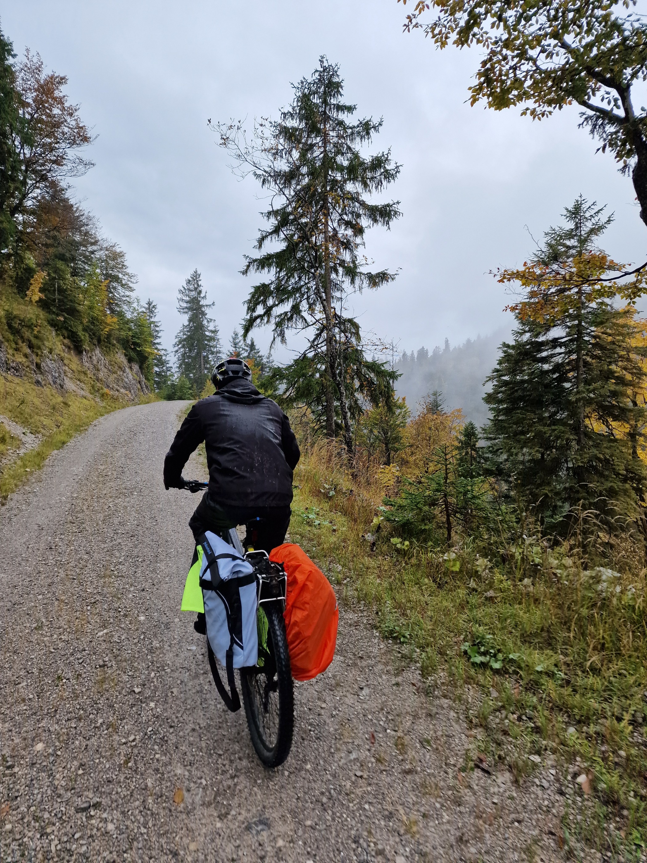
Point of interest after 3.2 km
Rauheckalm Bildquelle: hoehenrausch.de
Point of interest after 4.4 km
Hirschberg Ansicht Bildquelle: Bergverlag Rother
Continue with Bikemap
Use, edit, or download this cycling route
You would like to ride 02-Hirschberg-Ski or customize it for your own trip? Here is what you can do with this Bikemap route:
Free features
- Save this route as favorite or in collections
- Copy & plan your own version of this route
- Sync your route with Garmin or Wahoo
Premium features
Free trial for 3 days, or one-time payment. More about Bikemap Premium.
- Navigate this route on iOS & Android
- Export a GPX / KML file of this route
- Create your custom printout (try it for free)
- Download this route for offline navigation
Discover more Premium features.
Get Bikemap PremiumFrom our community
Other popular routes starting in Kreuth
 Erzherzog-Johann-Reibn von Kreuth
- Distance
- 46.1 km
- Ascent
- 973 m
- Descent
- 976 m
- Location
- Kreuth, Bavaria, Germany
 Hirschberg und Wallberg
- Distance
- 38.4 km
- Ascent
- 1,484 m
- Descent
- 1,485 m
- Location
- Kreuth, Bavaria, Germany
 Königsalm*-Blaubergalm-Königshütte*
- Distance
- 14.1 km
- Ascent
- 926 m
- Descent
- 923 m
- Location
- Kreuth, Bavaria, Germany
 Achensee und Inntal
- Distance
- 92.8 km
- Ascent
- 542 m
- Descent
- 803 m
- Location
- Kreuth, Bavaria, Germany
 Gufferthütte bis Achenkirchen
- Distance
- 15.8 km
- Ascent
- 447 m
- Descent
- 986 m
- Location
- Kreuth, Bavaria, Germany
 Kreuth - Mils
- Distance
- 62.3 km
- Ascent
- 920 m
- Descent
- 1,230 m
- Location
- Kreuth, Bavaria, Germany
 Kreuth, Bauer in der Au, Schwaruentenn, Königsalm
- Distance
- 28.1 km
- Ascent
- 455 m
- Descent
- 429 m
- Location
- Kreuth, Bavaria, Germany
 Transalp Tegernsee - Gardasee
- Distance
- 350.6 km
- Ascent
- 7,795 m
- Descent
- 8,502 m
- Location
- Kreuth, Bavaria, Germany
Open it in the app