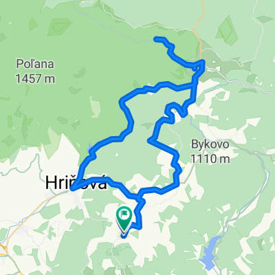
Divin--Praha-Divin
A cycling route starting in Hriňová, Banská Bystrica Region, Slovakia.
Overview
About this route
Surface mostly asphalt -/but also gravel/ Prague was founded by Czech brothers/Hussites/. Above the village there is also the 'Wenceslas Square' - it is a large grassy meadow -/now privatized and fenced./ Unfortunately, there is no pub there. If you are dependent on beer, you should look for the mayor - she will open the shop for you. (/route info in the GPS file on the creator's profile/)
- -:--
- Duration
- 33.6 km
- Distance
- 609 m
- Ascent
- 354 m
- Descent
- ---
- Avg. speed
- 577 m
- Max. altitude
Route quality
Waytypes & surfaces along the route
Waytypes
Road
21.8 km
(65 %)
Track
10.4 km
(31 %)
Surfaces
Paved
8.4 km
(25 %)
Unpaved
7.4 km
(22 %)
Asphalt
8.4 km
(25 %)
Ground
3.7 km
(11 %)
Route highlights
Points of interest along the route
Point of interest after 14.5 km
Pivo! /Pročková krčma/
Point of interest after 22.2 km
Václavské namestie
Point of interest after 25.2 km
Point of interest after 28.1 km
Pivo /Polichno/
Continue with Bikemap
Use, edit, or download this cycling route
You would like to ride Divin--Praha-Divin or customize it for your own trip? Here is what you can do with this Bikemap route:
Free features
- Save this route as favorite or in collections
- Copy & plan your own version of this route
- Sync your route with Garmin or Wahoo
Premium features
Free trial for 3 days, or one-time payment. More about Bikemap Premium.
- Navigate this route on iOS & Android
- Export a GPX / KML file of this route
- Create your custom printout (try it for free)
- Download this route for offline navigation
Discover more Premium features.
Get Bikemap PremiumFrom our community
Other popular routes starting in Hriňová
- Mýtna-Tuhár-Budiná-Kamenné vráta-chata pod Javorom-Divínske lazy-Píla-VN Mýtna-Mýtna
- Distance
- 22.8 km
- Ascent
- 532 m
- Descent
- 529 m
- Location
- Hriňová, Banská Bystrica Region, Slovakia
- Divín-Tuhár-Ružiná-Divín
- Distance
- 11.3 km
- Ascent
- 158 m
- Descent
- 263 m
- Location
- Hriňová, Banská Bystrica Region, Slovakia
- Stredne náročná trasa
- Distance
- 24.5 km
- Ascent
- 858 m
- Descent
- 855 m
- Location
- Hriňová, Banská Bystrica Region, Slovakia
- Trail cez roklinu Zimného potoka
- Distance
- 17.7 km
- Ascent
- 631 m
- Descent
- 634 m
- Location
- Hriňová, Banská Bystrica Region, Slovakia
- Divin--Praha-Divin
- Distance
- 33.6 km
- Ascent
- 609 m
- Descent
- 354 m
- Location
- Hriňová, Banská Bystrica Region, Slovakia
- Hrinova-Polana_odPrednej-peso
- Distance
- 26.1 km
- Ascent
- 987 m
- Descent
- 987 m
- Location
- Hriňová, Banská Bystrica Region, Slovakia
- Ilencik Kosutka-Latky-Kosutka
- Distance
- 76.6 km
- Ascent
- 1,449 m
- Descent
- 1,738 m
- Location
- Hriňová, Banská Bystrica Region, Slovakia
- Dobročská osmička z Kotmanovej
- Distance
- 31.4 km
- Ascent
- 812 m
- Descent
- 813 m
- Location
- Hriňová, Banská Bystrica Region, Slovakia
Open it in the app