
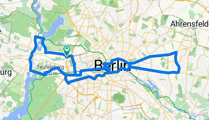
RTF Löschzug 2013 70 km
A cycling route starting in Charlottenburg-Nord, State of Berlin, Germany.
Overview
About this route
RTF Veranstaltung
BSG Berliner Feuerwehr Geschlossener Verband 70 km Runde- -:--
- Duration
- 73.2 km
- Distance
- 277 m
- Ascent
- 266 m
- Descent
- ---
- Avg. speed
- 61 m
- Max. altitude

Route quality
Waytypes & surfaces along the route
Waytypes
Busy road
30 km
(41 %)
Cycleway
18.1 km
(25 %)
Surfaces
Paved
68.7 km
(94 %)
Unpaved
0.7 km
(<1 %)
Asphalt
58.8 km
(80 %)
Paving stones
8.5 km
(12 %)
Continue with Bikemap
Use, edit, or download this cycling route
You would like to ride RTF Löschzug 2013 70 km or customize it for your own trip? Here is what you can do with this Bikemap route:
Free features
- Save this route as favorite or in collections
- Copy & plan your own version of this route
- Sync your route with Garmin or Wahoo
Premium features
Free trial for 3 days, or one-time payment. More about Bikemap Premium.
- Navigate this route on iOS & Android
- Export a GPX / KML file of this route
- Create your custom printout (try it for free)
- Download this route for offline navigation
Discover more Premium features.
Get Bikemap PremiumFrom our community
Other popular routes starting in Charlottenburg-Nord
 Spred Out Montag Course In Berlin
- Distance
- 7.3 km
- Ascent
- 80 m
- Descent
- 13 m
- Location
- Charlottenburg-Nord, State of Berlin, Germany
 Tegler Fließ Tour
- Distance
- 46.4 km
- Ascent
- 113 m
- Descent
- 116 m
- Location
- Charlottenburg-Nord, State of Berlin, Germany
 Berlin Siemensstadt - Nauen
- Distance
- 83.4 km
- Ascent
- 103 m
- Descent
- 102 m
- Location
- Charlottenburg-Nord, State of Berlin, Germany
 grunewaldrunde von zu Hause
- Distance
- 37.7 km
- Ascent
- 152 m
- Descent
- 153 m
- Location
- Charlottenburg-Nord, State of Berlin, Germany
 2010.2 Feierabendrunde
- Distance
- 18.6 km
- Ascent
- 56 m
- Descent
- 57 m
- Location
- Charlottenburg-Nord, State of Berlin, Germany
 2009.6 Sonntag Nachmittag Runde
- Distance
- 57.6 km
- Ascent
- 194 m
- Descent
- 194 m
- Location
- Charlottenburg-Nord, State of Berlin, Germany
 adfc Sternfahrt 2013 / 06. Route Jungfernheide
- Distance
- 37.8 km
- Ascent
- 60 m
- Descent
- 66 m
- Location
- Charlottenburg-Nord, State of Berlin, Germany
 2009.3 Sonntag - Nachmittagsrunde
- Distance
- 36.5 km
- Ascent
- 148 m
- Descent
- 148 m
- Location
- Charlottenburg-Nord, State of Berlin, Germany
Open it in the app