

Christchurch-Tekapo
A cycling route starting in Christchurch, Canterbury, New Zealand.
Overview
About this route
Christchurch to the Alps, stages 1-6
- -:--
- Duration
- 299.1 km
- Distance
- 1,287 m
- Ascent
- 576 m
- Descent
- ---
- Avg. speed
- ---
- Max. altitude
Route quality
Waytypes & surfaces along the route
Waytypes
Quiet road
74.8 km
(25 %)
Road
56.8 km
(19 %)
Surfaces
Paved
260.2 km
(87 %)
Unpaved
26.9 km
(9 %)
Paved (undefined)
179.4 km
(60 %)
Asphalt
80.7 km
(27 %)
Continue with Bikemap
Use, edit, or download this cycling route
You would like to ride Christchurch-Tekapo or customize it for your own trip? Here is what you can do with this Bikemap route:
Free features
- Save this route as favorite or in collections
- Copy & plan your own version of this route
- Split it into stages to create a multi-day tour
- Sync your route with Garmin or Wahoo
Premium features
Free trial for 3 days, or one-time payment. More about Bikemap Premium.
- Navigate this route on iOS & Android
- Export a GPX / KML file of this route
- Create your custom printout (try it for free)
- Download this route for offline navigation
Discover more Premium features.
Get Bikemap PremiumFrom our community
Other popular routes starting in Christchurch
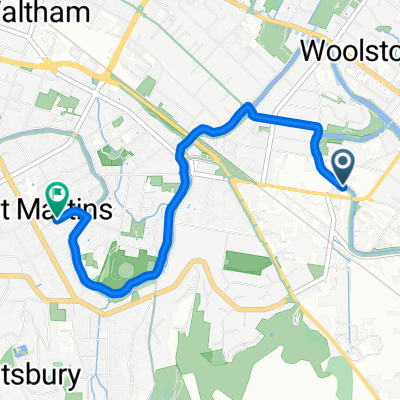
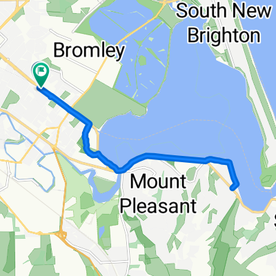
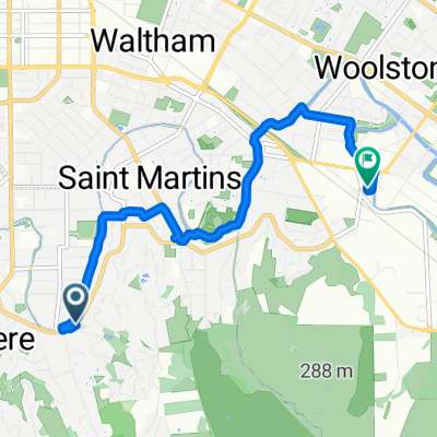 Enticott Pl, Christchurch to Woolston, Christchurch
- Distance
- 6.5 km
- Ascent
- 27 m
- Descent
- 37 m
- Location
- Christchurch, Canterbury, New Zealand
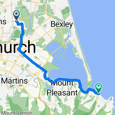 Netherby Ln, Christchurch to Marriner St, Christchurch
- Distance
- 14.1 km
- Ascent
- 25 m
- Descent
- 26 m
- Location
- Christchurch, Canterbury, New Zealand
 Garlands Rd, Christchurch to Wilsons Rd South, Christchurch
- Distance
- 4.1 km
- Ascent
- 7 m
- Descent
- 3 m
- Location
- Christchurch, Canterbury, New Zealand
 Netherby Ln, Christchurch to Netherby Ln, Christchurch
- Distance
- 38.3 km
- Ascent
- 93 m
- Descent
- 83 m
- Location
- Christchurch, Canterbury, New Zealand
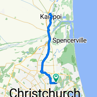
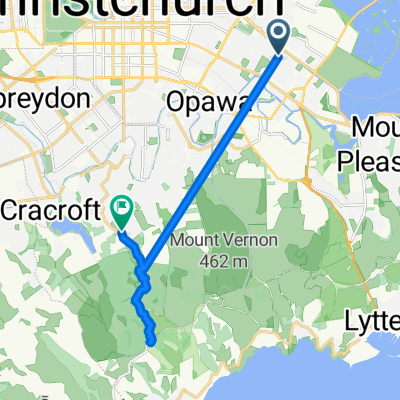 Steady ride
- Distance
- 15.3 km
- Ascent
- 492 m
- Descent
- 266 m
- Location
- Christchurch, Canterbury, New Zealand
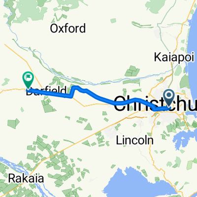 Christchurch - Darfield
- Distance
- 54.4 km
- Ascent
- 214 m
- Descent
- 9 m
- Location
- Christchurch, Canterbury, New Zealand
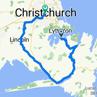 Diamond Harbour to downtown Christchurch via little river rail trail
- Distance
- 91.7 km
- Ascent
- 1,541 m
- Descent
- 1,605 m
- Location
- Christchurch, Canterbury, New Zealand
 Linwood Avenue to Linwood Avenue
- Distance
- 12.4 km
- Ascent
- 66 m
- Descent
- 78 m
- Location
- Christchurch, Canterbury, New Zealand
Open it in the app