

Madonna del Sasso
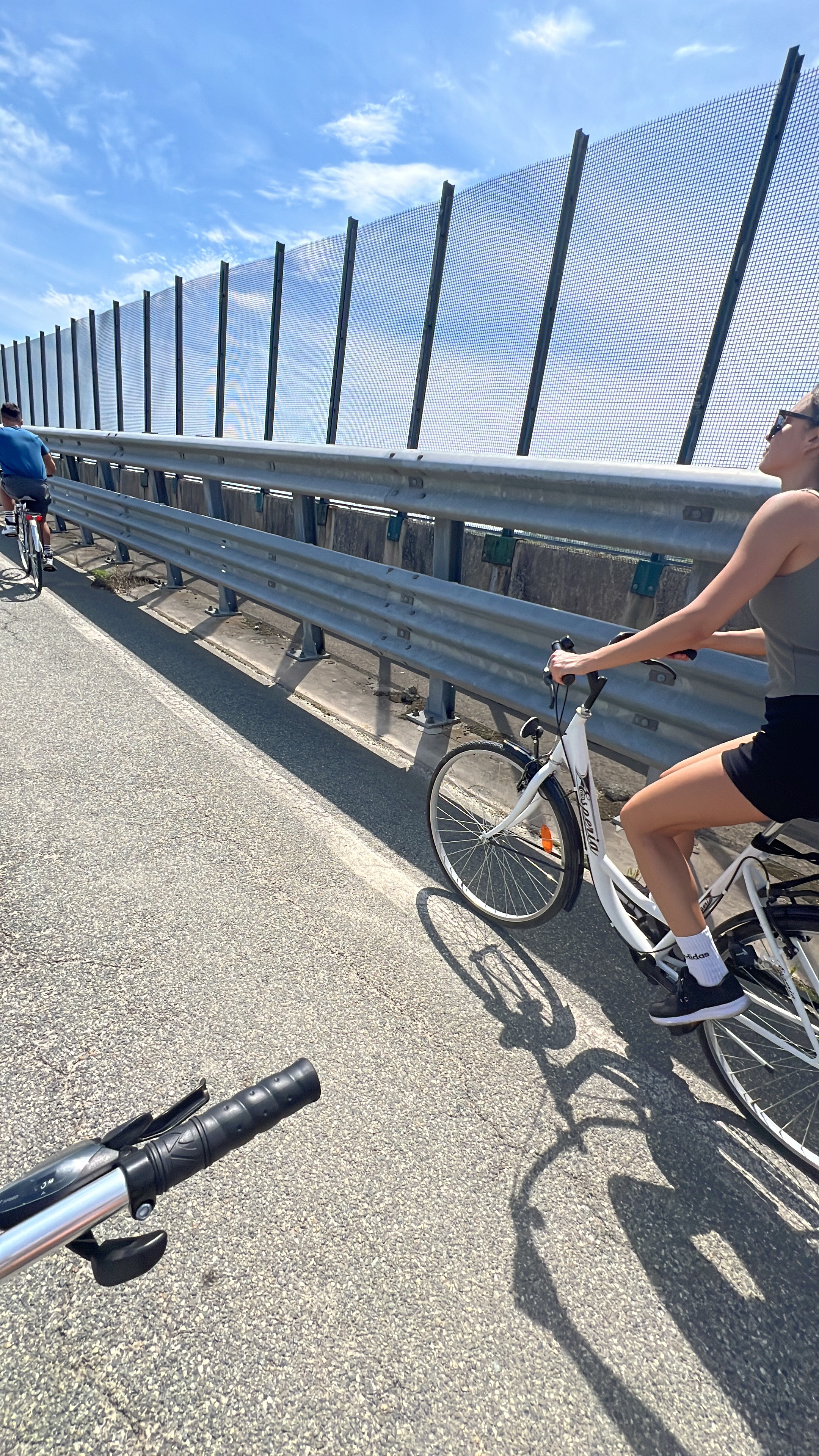
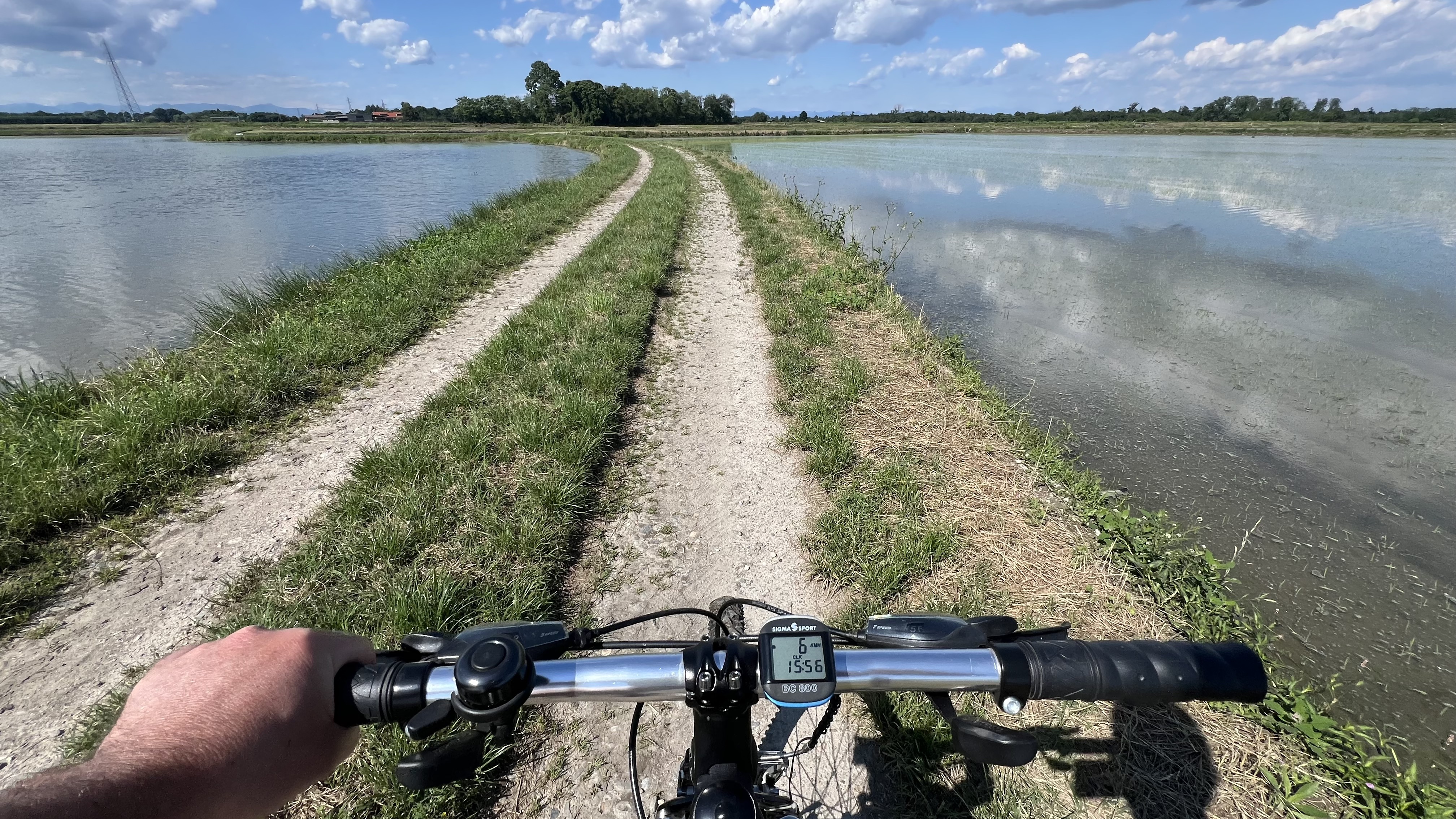
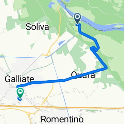
A cycling route starting in Galliate, Piedmont, Italy.
Overview
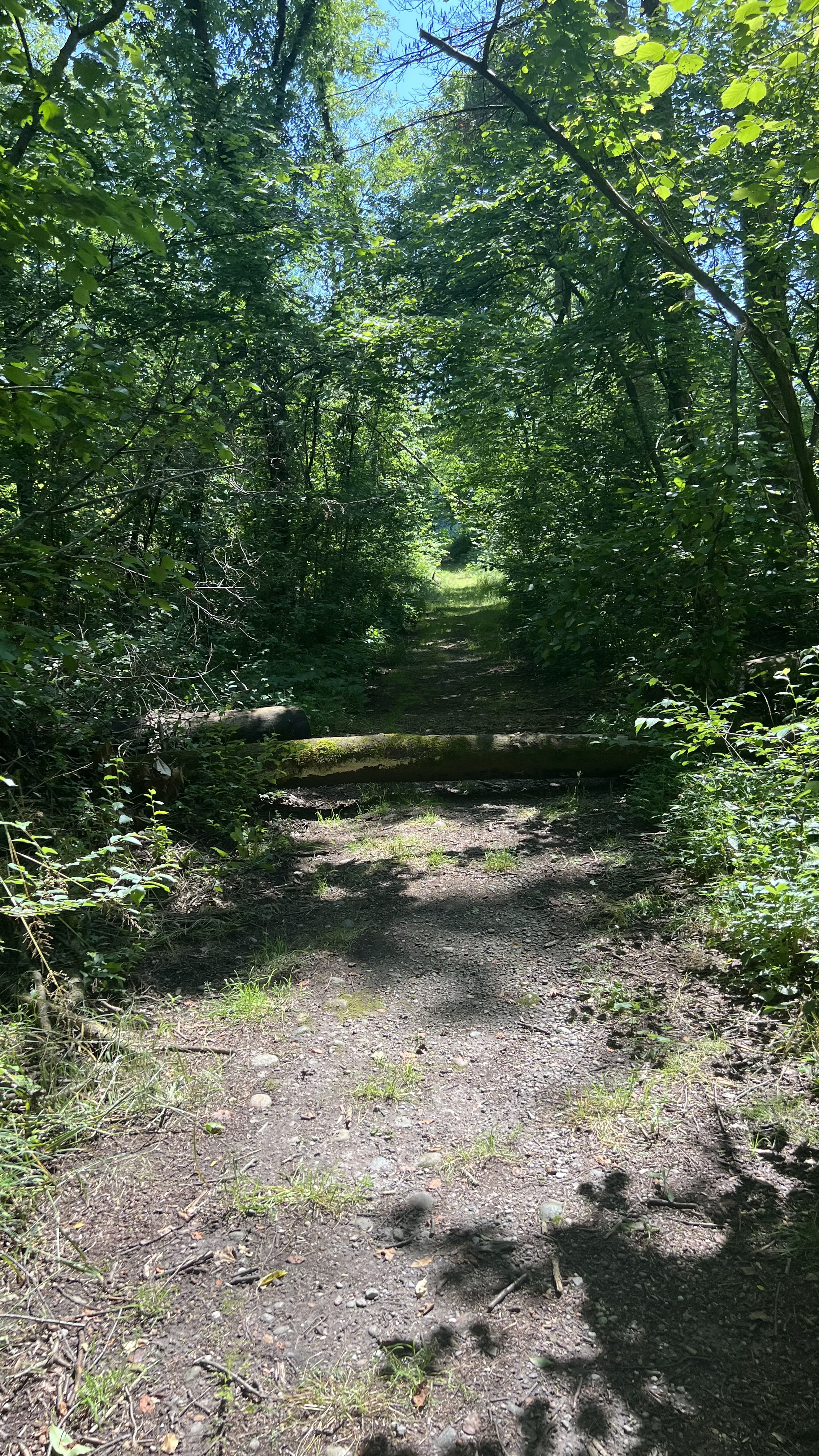
About this route
Santuario Madonna del Sasso (visto da Vacciago). Il santuario della Madonna del Sasso sorge su uno sperone granitico aggettante sul lago d'Orta a 638 m s.l.m. di altitudine, nel territorio del comune omonimo in frazione Boleto. L'attuale complesso fu voluto nel 1706 dal boletese Pietro Paolo Minola, che, in seguito ad una grazia ricevuta dalla Madonna, decise di far costruire a sue spese un nuovo santuario, in sostituzione del precedente. I lavori iniziarono verso il 1725, grazie anche al contributo degli abitanti di Boleto. Nel 1748 fu completata la chiesa, mentre il campanile e la casa a lato furono terminati nel 1760. Il santuario fu consacrato ufficialmente nel 1771 dal vescovo di Novara. Nel 1998, in occasione dei 250 anni dalla costruzione, l'intero complesso è stato completamente restaurato. (Wikipedia)
- -:--
- Duration
- 57.2 km
- Distance
- 644 m
- Ascent
- 153 m
- Descent
- ---
- Avg. speed
- ---
- Max. altitude
Route quality
Waytypes & surfaces along the route
Waytypes
Road
28.7 km
(50 %)
Quiet road
19.3 km
(34 %)
Surfaces
Paved
48.9 km
(85 %)
Unpaved
0.2 km
(<1 %)
Asphalt
48.7 km
(85 %)
Paved (undefined)
0.2 km
(<1 %)
Continue with Bikemap
Use, edit, or download this cycling route
You would like to ride Madonna del Sasso or customize it for your own trip? Here is what you can do with this Bikemap route:
Free features
- Save this route as favorite or in collections
- Copy & plan your own version of this route
- Sync your route with Garmin or Wahoo
Premium features
Free trial for 3 days, or one-time payment. More about Bikemap Premium.
- Navigate this route on iOS & Android
- Export a GPX / KML file of this route
- Create your custom printout (try it for free)
- Download this route for offline navigation
Discover more Premium features.
Get Bikemap PremiumFrom our community
Other popular routes starting in Galliate
 Via San Martino, Galliate a Via San Martino, Galliate
- Distance
- 16.4 km
- Ascent
- 47 m
- Descent
- 48 m
- Location
- Galliate, Piedmont, Italy
 Via Lodovico Sforza, Galliate a Via Lodovico Sforza, Galliate
- Distance
- 17.7 km
- Ascent
- 54 m
- Descent
- 53 m
- Location
- Galliate, Piedmont, Italy
 Galliate Corsico Kaikan
- Distance
- 44.2 km
- Ascent
- 125 m
- Descent
- 169 m
- Location
- Galliate, Piedmont, Italy
 Madonna del Sasso
- Distance
- 57.2 km
- Ascent
- 644 m
- Descent
- 153 m
- Location
- Galliate, Piedmont, Italy
 Via Alessandro Volta, Galliate a Via Alessandro Volta, Galliate
- Distance
- 13.6 km
- Ascent
- 37 m
- Descent
- 39 m
- Location
- Galliate, Piedmont, Italy
 Da Via Isonzo 1, Galliate a Via Giacomo Peroni 1/B, Galliate
- Distance
- 8 km
- Ascent
- 26 m
- Descent
- 3 m
- Location
- Galliate, Piedmont, Italy
 Galliate Oleggio pistini
- Distance
- 39.6 km
- Ascent
- 138 m
- Descent
- 140 m
- Location
- Galliate, Piedmont, Italy
 Via San Martino, Galliate a Via Lodovico Sforza, Galliate
- Distance
- 19.2 km
- Ascent
- 65 m
- Descent
- 67 m
- Location
- Galliate, Piedmont, Italy
Open it in the app