Kaiser-Josef-Platz nach Bahnhofstraße
- 1.5 km
- 0 m
- 3 m
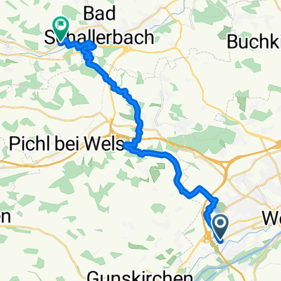
- Thalheim bei Wels, Upper Austria, Austria
A cycling route starting in Thalheim bei Wels, Upper Austria, Austria.
Overview
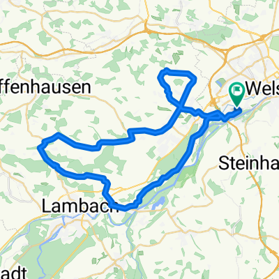
From the town square of Wels to the town square of Steyr: The route goes briefly along the Traun through the residential area of Wels to the start of the well-signposted 'Voralpenradweg' with the number R12. This winds downhill and uphill through the hilly pre-Alpine landscape on little-traveled side roads to the Steyr Valley. There it meets the Steyrtal cycle path (R8, also signposted), which takes the last kilometers through the Wehrgraben to Steyr.
created this 18 years ago
Route quality
Quiet road
42.2 km
(80 %)
Road
3.7 km
(7 %)
Paved
23.2 km
(44 %)
Unpaved
1.1 km
(2 %)
Asphalt
22.7 km
(43 %)
Ground
1.1 km
(2 %)
Continue with Bikemap
You would like to ride Wels-Steyr am Voralpenweg or customize it for your own trip? Here is what you can do with this Bikemap route:
Free trial for 3 days, or one-time payment. More about Bikemap Premium.
Discover more Premium features.
Get Bikemap PremiumFrom our community
Open it in the app